
Up to 100 mm of rain possible by Friday morning in parts of Ottawa region
Environment Canada says 60 millimetres of rain could fall in most of eastern Ontario and western Quebec by Friday morning, with up to 100 millimetres possible in some parts of the Outaouais.
Rainfall warnings cover all of western Quebec and most of eastern Ontario, giving a pass to the Brockville, Cornwall and Prescott-Russell areas.
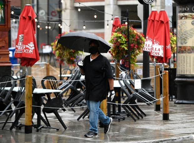
Drops were falling in many areas by sunrise Wednesday and rain should continue most of the day, with 30 to 50 millimetres possible in Ottawa.
The chance of a thunderstorm has shifted from Wednesday to Thursday when there are expected to be showers all day and night.
It should still be rainy in those areas east of Ottawa without a warning, but not to the point there are any statements or watches.
Environment Canada says this amount of rain can cover roads and flood low-lying areas.
Quinte Conservation is the only authority in the region to give a flood statement about likely nuisance flooding and the chance of some floods along lakes and rivers. Some other authorities have low-water advisories.
A cold front and low-pressure system from the American Midwest is the cause, says Environment Canada.
Daytime highs are in the low 20s in Ottawa the rest of the week. Wednesday's overnight low shouldn't drop lower than 17 C — nearly the average high for the first days of autumn in Ottawa — which then drops to more seasonal lows of around 10 C.
