
Bundle up! 'Coldest air of the winter' blasts Ontario
Ontarians woke up Monday morning to a frigid start to the work week, and it looks like these bone-chilling temperatures will continue for at least the next couple of days.
“We’re looking at certainly tomorrow night right through Wednesday night, and probably into Thursday, bitterly cold weather here,” Brett Anderson, senior meteorologist with AccuWeather told Yahoo News Canada. “Dangerous cold outbreak certainly….the coldest air of the winter, by far.”
Environment Canada has issued special weather statements for much of Ontario, into southern Quebec. The government agency is also warning Canadians of extreme cold weather stretching from northeastern Alberta all the way to Quebec, with wind chill values as low as -55 C.
Potential impacts from the frigid air mass this week. pic.twitter.com/zvZ08w1cQz
— Brett Anderson (@BrettAWX) January 28, 2019
Why is it so cold now?
Cold weather in January is far from unusual, but these “extreme” cold temperatures can be blamed on a polar vortex, referring to a circulation of cold air that usually sits in the Arctic region but occasionally makes its way southward. This polar vortex is pushing farther south than normal, bringing the bitterly cold temperatures with it.
“It’s getting shifted…abnormally far south and it’s actually getting all the way down into northern Ontario it looks like Tuesday into Thursday,” Anderson said. “That allows the core of the Arctic air to sweep down from the eastern Prairies, Manitoba, directly into Ontario and even western parts of Quebec over the next few days.”
According to Anderson, temperatures across Ontario are expected to be 10 to 20 C below normal from Tuesday night into Thursday. With wind chill factors, much for the province can expect temperatures sitting at -25 to -35 C Tuesday night, creeping down even chillier to -35 C to -40 C with windchill factors on Wednesday night, according to AccuWeather’s predictions. Northeastern areas of Ontario, around the Ottawa region, won’t see temperatures as extreme as southern Ontario.
“The core of the cold is going to be pretty much from southwestern Ontario,” Anderson said. “That’s where the worst of the wind chill is going to be, from basically Toronto on west and north, but not east.”
Here are our latest snowfall maps. #AccuWeather pic.twitter.com/pq9HyP3eli
— Brett Anderson (@BrettAWX) January 28, 2019
Snow expectations
Although Environment Canada is calling for 15 to 20 cm of snow for the City of Toronto, Anderson believes accumulation amounts will be significantly lower in the Greater Toronto Area this week.
“We’re not expecting much snow in the Toronto area, probably looking at a general two to eight centimetres across much for the Greater Toronto Area with this particular storm,” Anderson said.
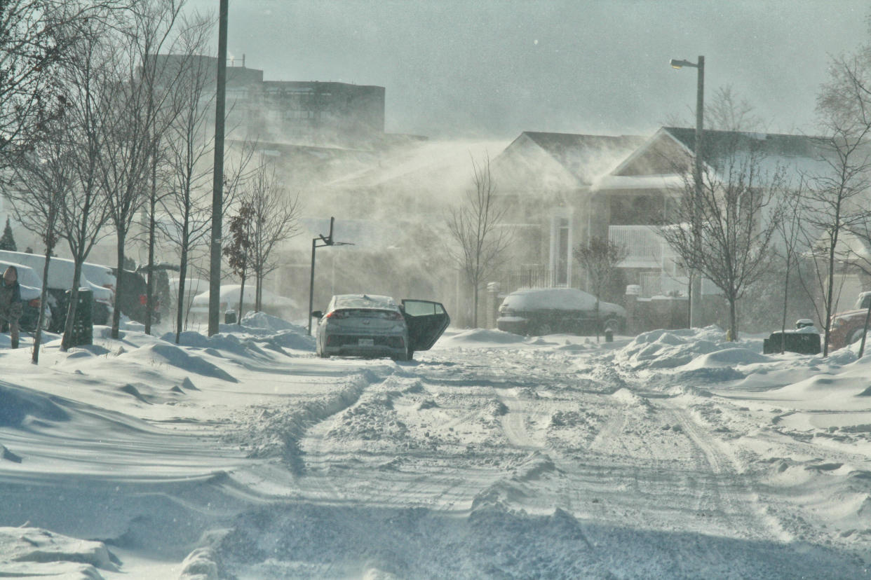
But the AccuWeather meteorologist does anticipate some significant lake effect snow on the horizon for Ontario, with the more westerly wind in mind. Areas like Owen Sound, Hanover up towards Bruce Peninsula, Bracebridge, Gravenhurst, Midland and other areas north of Barrie are estimated to see 30 to 90 cm of snow, causing “miserable” blizzard conditions.
How to prepare for the cold
With temperatures this low below zero, there are some preventative measures that should be taken to manage the deep freeze, starting with trying to limit the amount of time you spend outside and ensuring you’re properly dressed in layers, including a hat and mitts. Anderson recommends leaving your faucets dripping a bit in your house because exposed pipes can freeze and rupture.
“Where the pipes are, perhaps in areas that can get chilly in the house, you may want to run some extra heat,” Anderson said.
If you have a car, you’ll definitely want to check your battery as well, especially if it’s a few years old. It might also be a good time to invest in something to warm your battery to get you out the door on Wednesday morning during the deep freeze.

