
Canada weather: All 10 provinces under warnings or special statements

An Environment Canada weather watch in B.C. was only referring to parts of the Pacific coast when it warned a "messy meteorological medley" was on the way this weekend, but it could apply from coast to coast as the forecaster issued warnings or special weather statements in all 10 provinces.
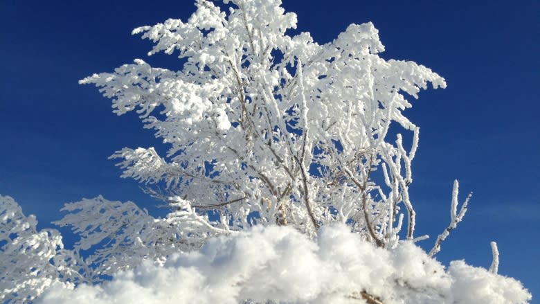
Snowfall warnings were in effect for parts of the three prairie provinces and northern Ontario on Friday morning, while the weather agency is warning of winter storms this weekend in southern Ontario, southern Quebec, and on both the Atlantic and Pacific coasts. About three-quarters of B.C. will be hit with extreme weather.
Here's a look at what's in store from east to west:
Atlantic Canada
In a special weather statement issued Friday, Environment Canada is warning of a winter storm moving into all three Maritime provinces on Sunday.
"Latest indications still suggest that snow will begin Sunday morning and change to ice pellets or freezing rain during the day," says the statement. "Southern regions will also see rain later in the day Sunday."
Snowfall amounts of 10 to 15 centimetres are possible before the changeover, the agency said.
In Newfoundland, a wintry system with sometimes heavy snow is forecast to affect the island Sunday night through to Tuesday.
"Snow is forecast to change through ice pellets to rain or drizzle by Monday morning, except over the Northern Peninsula, where a changeover is less certain," the statement for Newfoundland says.
There are no weather statements issued for Labrador.
Ontario and Quebec
Environment Canada has issued a special weather statement for southern Ontario, warning residents to be ready for a "significant winter storm" this weekend.
Snow is expected to start falling Saturday afternoon and will likely turn to rain as temperatures increase — into the double digits, in some regions — Saturday night and into Sunday. Regions along the Ottawa Valley could see periods of freezing rain in the evening Saturday.
Temperatures are expected to be well above freezing on Sunday, reaching double digits for some areas.
But the weather agency says the warmth will be short-lived since a cold front sweeping across southern Ontario late Sunday will bring a return to cold temperatures, strong winds and flurries.
In Quebec, heavy snowfall is expected to begin Saturday night, eventually changing to rain.
"Several hours of freezing rain are possible during the transition from snow to rain over regions stretching from the Outaouais to the Saguenay including Montreal and Quebec City," Quebec's statement says.
Prairies and Northern Ontario
Snowfall warnings are in effect for portions of each prairie province and a section of northern Ontario.
The extreme southeast corner of Saskatchewan and Manitoba along the U.S. border can expect 10 to 15 cm of snow today.
The same system is expected to intensify and bring up to 20 centimetres of snow to northern Ontario along the border with Minnesota and near Lake Superior, starting this evening and tapering off through Saturday.
In Alberta, a separate system is bringing snowfall to some western and central portions of Alberta and should taper off by this afternoon.
Snowfall totals will range from 10 to 20 cm depending on the area, Environment Canada's warning says.
British Columbia
Much of B.C. is under a watch or a special weather alert, and in areas that include the Interior, Fraser Valley, East Kootenay, Okanagan and Yoho Park, there will be especially heavy snowfall exceeding 25 centimetres which could transition into freezing rain.
Special advisories have been issued for Haines Junction and the South Klondike highway where blowing snow could reduce visibility to zero. The snow is not expected to taper off until Monday.
Along much of the B.C. coast, the weather promises to be a "messy meteorological medley" on Saturday, Environment Canada says.
Snow will begin Saturday, and lead to heavy snow and freezing rain on Sunday.
"The combination of outgoing Arctic air at low elevations and incoming Pacific air at higher elevations, will create a montage of rapidly changing winter conditions that will eventually have planners, road crews, and the public from Stewart to Hope scrambling to avoid, mitigate and otherwise work around the weather," the watch says.
In Vancouver and Abbotsford, snow will likely only occur at higher elevations prior to a rapid changeover to rain.
"Stay tuned for updates and a warning or two," the forecaster said.
