
Cold snap to end with temperatures up to 24C next week, Met Office says
A cold snap at the start of the weekend will give way to warmer and wetter weather in the lead-up to Easter, meteorologists have said.
The Met Office said the mercury could rise to 24C in south-east England by Tuesday, which could make it only the second day in March that the temperature has reached this high in records going back to 1884.
The maximum temperature recorded in March was 25.6C, on March 29 1968 at Mepal in Cambridgeshire.
Met Office spokesman Grahame Madge said: “Temperatures of 24C or above have only been recorded on one day in March – March 29 1968 – when a range of stations recorded high temperatures, with the maximum being 25.6C at Mepal in Cambridgeshire.

“Therefore if temperatures rise to 24C next week, that will be only the second day in records going back to 1884 that the UK has seen a March temperature reach 24C.”
The Met Office said that while Friday will be a cold night most areas will remain above freezing except sheltered locations in northern England and Scotland which could see dips down to minus 1C or minus 2C.
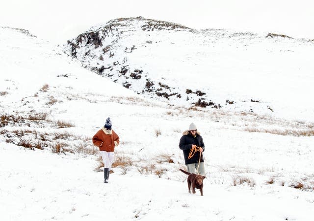
There will be some wintry showers in places with some lying snow possible over hills further north, while Saturday will start off cold with a risk of frost.
But following the cold snap, the weather will split along north and south lines, the Met Office said.
The northern half of Britain will see strong winds and heavy rain, particularly in parts of western Scotland where a Yellow warning for rain is in force for 48 hours from 6pm on Sunday.
People in these regions can expect to see 80-100mm of rainfall with the potential for 150-250mm over the highest ground, the Met Office said.
Meanwhile, in sheltered central and southern parts of the UK the weather will be calmer, with temperatures climbing to highs in the low 20Cs, the Met Office said.
⚠️ Yellow weather warning issued ⚠️
Rain across western parts of Scotland 🌧️Sunday 1800 – Tuesday 1800
Heavy persistent rain with 80-100 mm falling widely and the potential for 150-200 mm over the hills
Latest info 👉 https://t.co/QwDLMfRBfs
Stay #WeatherAware⚠️ pic.twitter.com/5ybuHTxG2w
— Met Office (@metoffice) March 26, 2021
Met Office Chief Meteorologist Andy Page said: “From Saturday we are going to see a change in weather across the UK, with the northern and southern parts of Britain experiencing quite marked differences.
“The northern half of Britain will see strong winds and heavy rain, especially in parts of Western Scotland where a Yellow warning for rain will be in force for 48 hours from 6pm on Sunday evening.
“However, in sheltered central and southern parts of the UK, weather conditions will be much calmer with temperatures climbing in the March sunshine to highs into the low 20s, with the possibility of 24C in south-east England by Tuesday.”
The Met Office said that the weather is expected to change again from the middle of the week, with signs that cold air from the north could bring another dip in temperatures for Easter weekend.
There is also the risk of some wintry showers in the North East, forecasters added.
The coldest Easter weekend on record was in 2013 when minus 12.5C was recorded at Braemar in Aberdeenshire, on Easter Sunday, while the deepest snow recorded at Easter was on Good Friday came in 2010 when 36cm was measured at Strathdearn, Inverness-shire.
The wettest Easter was in 1991 when 108.7mm of rainfall was recorded at Seatoller, in Cumbria, on Easter Monday.

