
Days after heat wave, up to 40 cm of snow expected in Alberta's mountain parks
Just days after a heat wave swept through much of Alberta, an out-of-season storm is expected to bring heavy snowfall to the province's mountain parks.
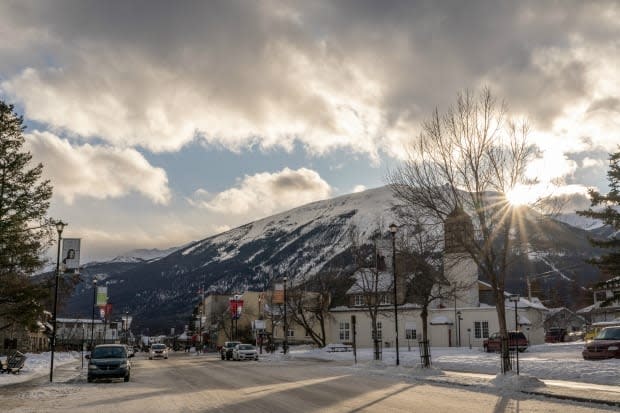
Environment Canada issued a winter storm warning for areas of Banff and Jasper National Parks along Highway 93 on Sunday afternoon.
The warning states that heavy snowfall is expected to begin in the region overnight at higher elevations, and that 30 to 40 centimetres of snow is expected to fall by Tuesday morning.
"Consider postponing non-essential travel until conditions improve. Rapidly accumulating snow could make travel difficult over some locations. Visibility may be suddenly reduced at times in heavy snow," the agency cautioned.
The warning covers the stretch of Icefields Parkway between Jasper and Lake Louise.
There is also a rainfall warning in effect for the Rocky Mountain House area, which is expected to see up to 100 mm of precipitation by Tuesday brought on by thunderstorms and heavy downpours.
From Wednesday through Friday, most of the province was under heat warnings with daytime highs reaching 35 C in some areas.
And on Saturday, intense thunderstorms swept through the southern part of the province, bringing at least one tornado to the High River area.
An up-to-date list of weather alerts can be found on Environment Canada's website.
