
An epic snowfall streak is within Vancouver’s reach
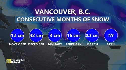
A snowfall streak of epic proportions might grow by another month, making it a genuinely unprecedented winter for British Columbia.
DON'T MISS: Will spring's sluggish start continue through April? Your monthly forecast, here
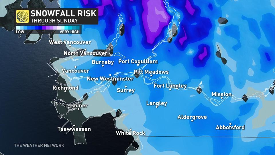
This time of the year's atmosphere is generally temperamental, but this weekend promises to be an event for those near the South Coast.
Cold air is swept up in a trough originating from Siberia, and a low-pressure system will manoeuvre down the coast. Most of the energy is in the upper levels, making the perfect recipe for heavy showers that’ll drop the surface temperatures.
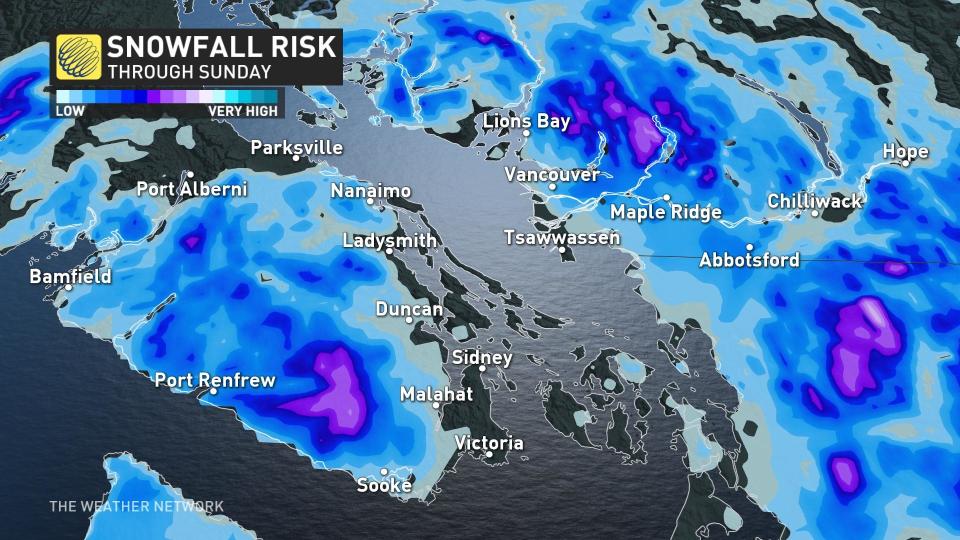
The localized, low-elevation snowfall will tend to be brief but may accumulate on some surfaces if the cells remain stationary. There’s even a slim probability of waterspouts in the Strait of Georgia with higher instability over the warmer body of water.
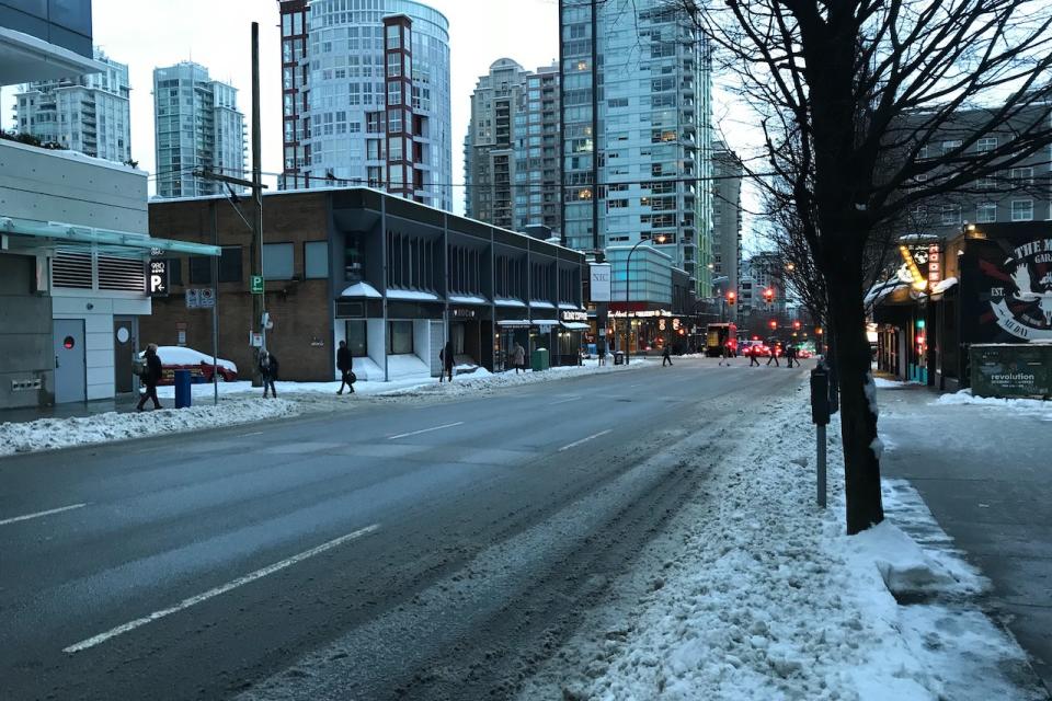
As of early Sunday morning, it was snowing across the higher terrain of Metro Vancouver, including Simon Fraser University and across regions of Vancouver Island.
WATCH: Increasing atmospheric rivers could impact snow melt, flooding in B.C.
Thumbnail courtesy of Chris St. Clair.
