
Extreme cold warning calls for Ottawa's coldest night of the pandemic
Environment Canada has extreme cold warnings in place for all of eastern Ontario and western Quebec, saying the wind is aggravating what is already Ottawa's coldest temperatures of the pandemic.
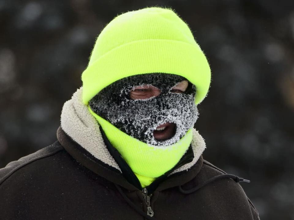
The forecast for the capital called for temperatures steadily falling all day and night to between –25 and –32 C by dawn Tuesday. Wind chill could make that feel around –35.
As of 5 a.m. Tuesday, the temperature was around –25 C and the wind chill value, -38.
It could feel a few degrees cooler in rural western Quebec and slightly less harsh in the Kingston and Belleville areas.
Temperatures this low mean people should cover as much exposed skin as they can, dress in layers — ideally a wind-resistant outer layer — and watch for cold-related health problems such as muscle pain, numb extremities and shortness of breath.
All-time Jan. 11 cold record in play
The last time Ottawa's temperature reached –25 C was Feb. 14, 2020, though it neared –24 C on Saturday.
The city's all-time low for Jan. 11 using records going back to 1872 is –30 C, which happened in 1893 and 1981.
Tuesday's high is –17 C in Ottawa, with the wind chill expected to ease as the day goes on. Wednesday's high is –3 C.
You have to turn back to the end of January 2019 for a day that didn't get warmer than –17 C in Ottawa.
