
Fall was warm and dry across much of Saskatchewan
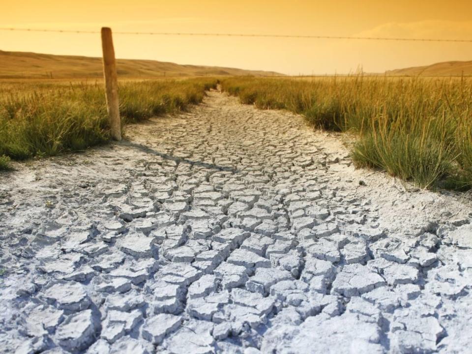
Some Saskatchewan locations had one of the driest falls on record.
Environment and Climate Change Canada says that from September through November, Saskatoon accumulated just 33 per cent of its normal precipitation, making it the fourth-driest fall in 123 years.
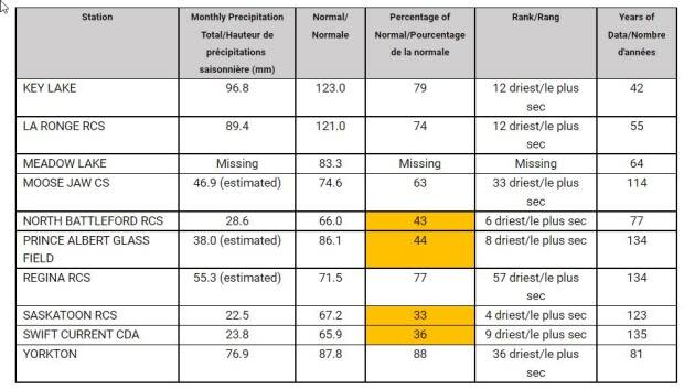
North Battleford had its sixth-driest fall (43 per cent of normal) and Prince Albert experienced its eighth driest fall (44 per cent of normal).
Swift Current received 36 per cent of its average precipitation this fall, its ninth-driest on record.
Regina had 77 per cent of its normal precipitation.

It was also an especially warm autumn across Saskatchewan, with most weather stations in the province registering average temperatures in the top 20 on record.
Yorkton and La Ronge had their fourth-warmest falls on record, with an average temperature about three degrees warmer than normal.
Regina, Moose Jaw, Swift Current, Estevan and Key Lake all experienced falls that are among their eight warmest.
While the fall was warm and dry in Saskatchewan, Environment Canada is forecasting below normal temperatures and above normal precipitation for the next three months.
