
Heat alert ends as cooler air moves through GTA
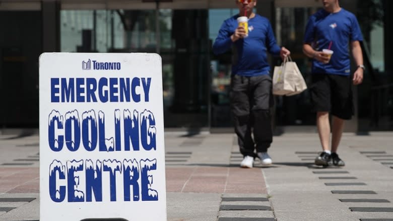
Environment Canada has ended its heat alert for the City of Toronto and surrounding areas after another days-long heat wave gripped southern Ontario.
The alert was issued on Saturday, when the temperature reached 27 C but felt more like 35 during the afternoon. On Sunday, the weather prompted the city's medical officer of health to issue a heat warning for Toronto. The forecast high for Sunday was 31 C, with a humidex of 36.
On Monday, the daytime high hit 32 C, but felt more like 41 with the humidity, according to Environment Canada weather data.
The city's heat warning ended on Tuesday morning.
Environment Canada issues a heat alert under two conditions:
- When daytime temperatures are expected to hit 31 C or higher on two consecutive days, and nighttime temperatures are predicted to stay at 20 C or higher.
- Or when the humidex is expected to hit 40 or higher for two consecutive days.
A thunderstorm cleared away some of the humidity late Monday. As of 5 a.m. Tuesday, the temperature was 20 C with a humidex of 25. The forecast high for Tuesday is 27 C, with the humidity making it feel more like 30.
Temperatures will remain in the high 20s for the rest of the week, with the only rain in the forecast expected on Saturday.

