
More Churchill River monitoring welcome, says MUN researcher, but ice thickness needs to be included
A Memorial University researcher says more monitoring of the Churchill River is a good step but ice thickness needs to be measured to better warn people when there's an increased flood risk.
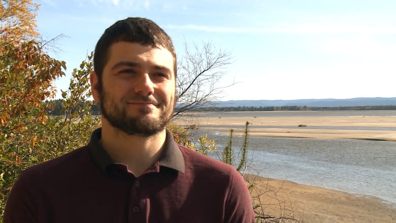
Robert Way, a researcher at MUN's Labrador Institute, has been observing and analyzing the effect of Nalcor Energy's Muskrat Falls hydroelectric project on the land and people.
He told CBC Radio's On the Go that this week's announcement of additional monitoring of Churchill River water levels is a good step, but it will be crucial to monitor ice thickness to assess the risk of a flood like the one that hit Mud Lake last year.
Ice thickness crucial: MUN researcher
"One of the key critical components of understanding whether ice jams may form in a given year is to understand how ice thicknesses are varying across the river, and particularly at the areas where you're more likely to have an ice jam form," he said.
"And that's something we haven't heard any additional information about, whether there's additional monitoring being put in place or not."
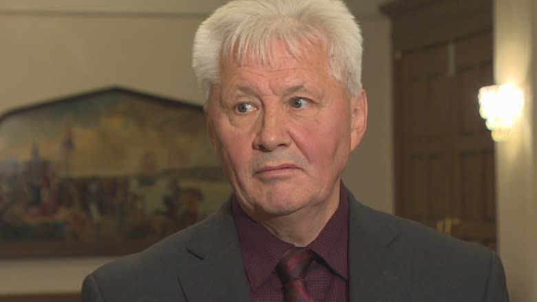
Newfoundland and Labrador Environment Minister Eddie Joyce later told On the Go that the additional monitoring includes ice thickness.
"It [does] track the thickness of the ice. It's all there," he said. "The ice level is there. The ice cover will be tracked, the climate, if there's wind, snow. It is there and it tracks the water level."
Way isn't sure the measurements would have provided earlier warning to Mud Lake residents because there wasn't a system in place to use the information and assess an increased flood risk.
"But that's ultimately the direction that this has to go, similar to on many other rivers in Canada, where there's a recognition that there is the potential for flood risks downstream, and if there's no monitoring in place, then ultimately somebody's liable."
While many residents of Mud Lake have expressed skepticism about a consultant's report that found no evidence the flood had anything to do with the Muskrat Falls project, Way noted Nalcor affects the flow through water releases from the Upper Churchill portion.
"I think that the report did not indicate that they could confirm or disprove that the Upper Churchill project contributed, but they did lay out a series of ways in which the river behaviour was unusual last year relative to previous years because of how flows were controlled at Upper Churchill," he said.
Landslide renews concerns
"And that was done in a way that would promote the formation of ice jams at the mouth of the river."
Last weekend's landslide near the Lower Churchill project renewed the concerns of people near the river.
Asked how he would allay those fears, Joyce said that's a question for Nalcor, but added that landslides happen naturally in the area.
"This is not near the Muskrat Falls and the North Spur, so I think any questions on that, Nalcor … would be the lead on the North Spur, on the dam itself, and within that."
Joyce also said the provincial government is working to win the trust of people in the area, and the additional monitoring is part of that.
"We said we were going to set up this monitoring program, we're setting up this. We said we would get the community involved, who has a lot more knowledge than I would on that area — we've done that."
