
Oil and gas activity was catalyst for Peace River earthquakes in 2022, study finds
A study from the University of Alberta and Stanford University has found oil and gas activity likely induced one of the province's largest documented earthquakes that took place last November.
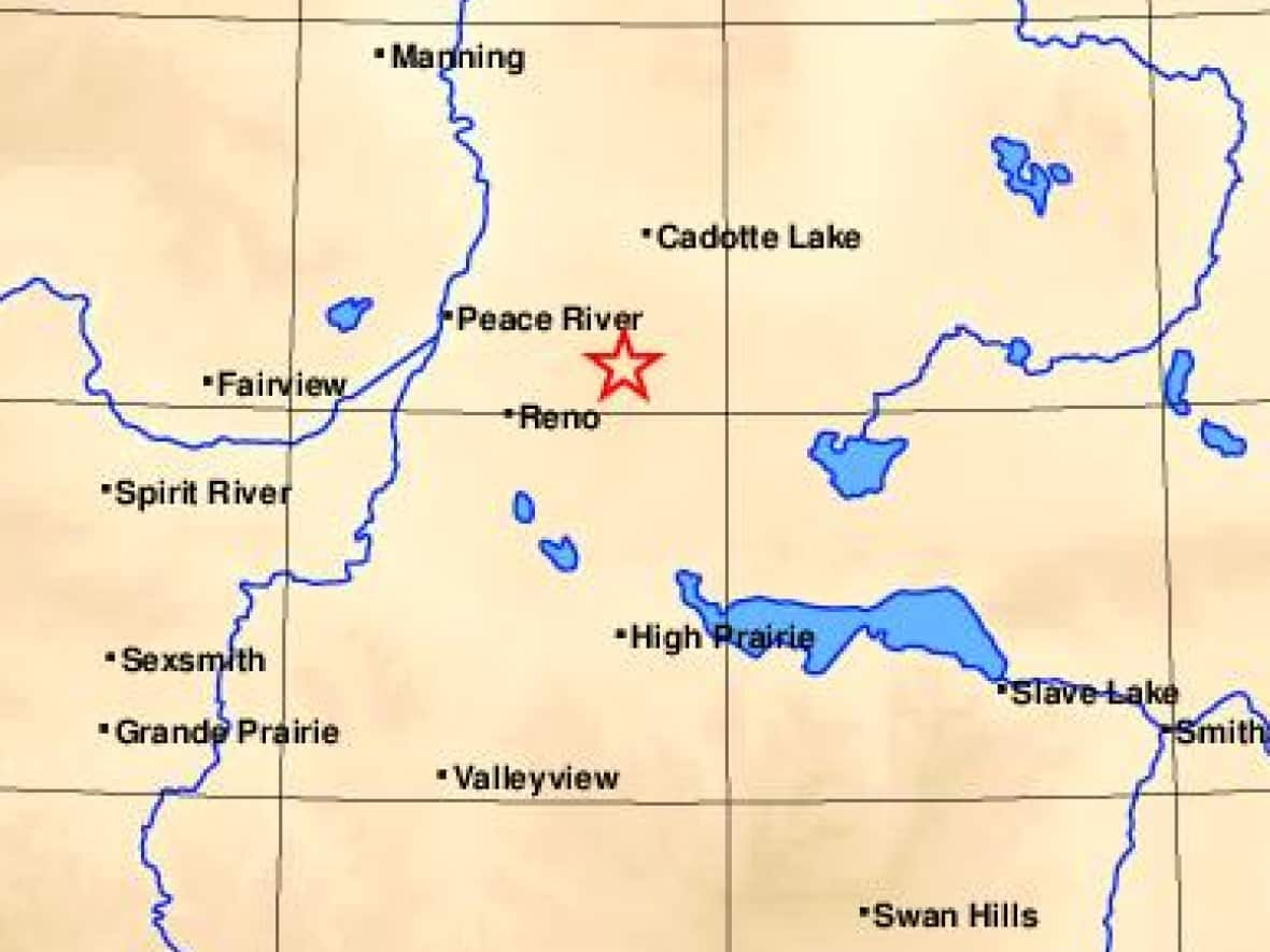
The Peace River region experienced a series of three earthquakes that took place on Nov. 30. Scientists determined one of the earthquakes had a magnitude of 5.6, which is considered a moderate event but is among the largest ever recorded in Alberta.
The study, which was released on Thursday, stands opposed to the Alberta Energy Regulator's own initial findings which indicated natural causes.
The study took data relating to seismicity in the region dating back to 1985 and looked at how the earthquake occurred in a region of in situ bitumen recovery.
The process enables the recovery of oil that is buried too deep to mine and can only be reached by drilling wells to extract an extra-heavy type of oil called bitumen, according to the AER's website.
When bitumen cannot flow to the well, heat is added or fluids injected in order to reduce its viscosity to make it easier to recover.
The study found 3.4 centimetres of ground deformation was caused by a reverse fault slip, which is approximately 29 centimetres, possibly related to Peace River Arch faulting.
A fault is a fracture or zone of fractures between two blocks of rock.
"The fault slip is largely within the crystalline basement, with a small portion extending into basal sediments," the study said.
"Nearby injection operations dispose petroleum-related wastewater in these basal sediments."
The result of these operations likely induced the earthquake because of the pressure applied by injection, according to the study.
Study implications
In a news release last November, the AER said its investigation's "initial findings point to natural tectonic activity."
The basis for this was a lack of hydraulic fracturing activity, lack of nearby fluid disposal, and the depth of the earthquake.
The work was conducted by Alberta Geological Survey, which is a branch of the AER comprised of geoscience scientists.

"Scientists at the AGS use a network of approximately 50 seismic stations to measure and research seismic activity across Alberta," the AER's release said.
"We utilize this information to form an accurate picture of earthquake locations, magnitudes and discern the nature of these events."
The regulator is also investigating whether three milder earthquakes in the Peace River region that took place in mid-March are also related to the larger earthquakes from last November.
The study acknowledges that the seismic history of the region lacks the "location resolution" needed to precisely define fault structures. However, the study cites recent records, which define three separate areas of clustered earthquakes, two of which, coincide with ongoing in situ bitumen recovery.
"The assessment of this earthquake as induced will likely have implications for future energy development, management, and regulation — including carbon capture and blue hydrogen," the study said.
The study's scientists said the Peace River case should provoke greater action when it comes to CO2 development.
"Long-term operations [including subsurface injection] have the potential to induce earthquakes — often with significant lag times for seismic response. Second, the importance of high sensitivity measurement both before and during the lifetime of the project: here, the lack of precise and low-magnitude seismic data hampered the resolvability of induced events and their properties."

