
Smartphones leading some Gatineau Park hikers astray
Gatineau Park hikers who rely on their cellphones for directions are getting lost when the technology fails, a trend that's worrying guides and park staff.
"It's a growing problem," said Nathalie Gauthier of Great Canadian Trails, a wilderness tour company.
"I think that people forget that their phones have limitations."
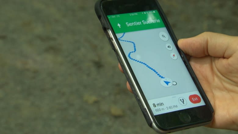
Poor reception, drained batteries and outdated trail information have led trekkers down the wrong path, Gauthier said. Adding to the danger is the fact that the mobile apps rarely include details about challenging difficult terrain.
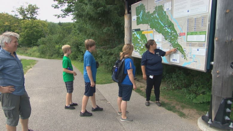
Paper maps better
Staff with the National Capital Commission could not provide numbers, but indicated it's something they're seeing more and more.
"We encourage people to have the paper version of the Gatineau Park trail map," said Rachel Paquette, the park's program officer for nature interpretation.
Since cell service in some parts of the park is still spotty, Paquette advises hikers to stop in at the visitor centre to pick up a map and obtain detailed information from park workers about trail difficulty and weather conditions.
She said the paper map will come in handy if something goes wrong.
"All of a sudden if your GPS isn't working, you may get lost. Once you get lost it's a lot harder for us to find you," said Paquette.
"It will also be a lot harder for you to tell us where you are."
Along the paths of Gatineau Park Monday, hikers admitted to relying on their phones alone for directions.
"I almost dropped my phone in the lake earlier, " laughed Oumou Camara, who said her cell had lost service. "It would have been handy to have a paper map."
