
Saint John flood levels rising, but may not reach as high as feared, says EMO
Floodwaters in the Saint John area may not get as high as initially feared, but they've already cut off 240 families from dry land and keep rising, the Emergency Measures Organization said Thursday.
The St. John River has reached 5.48 metres and is now projected to rise to 5.6 metres by Friday before starting to recede.
The forecast Wednesday had called for water levels to reach 5.8 metres, exceeding last year's historic peak of 5.76 metres.
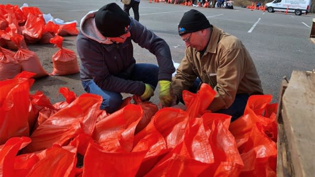
Still, a voluntary evacuation notice issued Monday remains in place for flood-impacted areas and residents are being urged to get out before they become cut off by flooded roads.
As of Thursday afternoon, only 43 evacuees have registered with the Canadian Red Cross.
A regular shuttle service in and out of isolated and flooded areas is not available, said EMO officials.
Boats and a light armoured vehicle are available only for public safety purposes, including emergency response, wellness checks and evacuation assistance, they said.
Anyone who needs help leaving their home should call 648-3333.
Evacuees should register with the Canadian Red Cross by calling 1-800-863-6582 or visiting the reception centre at the Carleton Community Centre at 82 Market Place West between 8 a.m. and 8 p.m.
Volunteer assistance
The EMO is co-ordinating volunteer assistance for residents impacted by the flood.
Anyone who needs help can call 658-2844 or complete an online form at www.saintjohn.ca/floodhelp indicating the type of help they require and when.
Volunteers are asked to indicate their availability.
"Like last year, we anticipate that there will be a need for a large number of volunteers to support the recovery effort once floodwaters begin to recede," EMO said in a statement.

The Canadian Coast Guard is assisting with flood response in the region with two boats, a helicopter and staff from as far away as P.E.I. and Newfoundland and Labrador, said Kyle Jarvis, a senior environmental response officer.
The boats — a fast rescue craft with four crew members and a pollution response vessel with three crew — are patrolling in the Saint John, Grand Bay-Westfield and Belleisle area, he said.
They are "showing a visible presence" and will conduct wellness checks and assist with evacuations, as needed, until further notice, said Jarvis, who is working out of the EMO command post in Island View.
The helicopter has also been assessing the extent of the flooding with flights from Saint John to Fredericton and back over Grand Bay-Westfield and another focusing on the lower St. John River and Oromocto area, he said.
"Depending on the way things change, that will influence what we do going forward," said Jarvis.
The coast guard has a couple other vessels and additional crew available, if required.
"Safety is definitely our top concern," Jarvis said. "We're here to assist as best as we can and as required on behalf of the province of New Brunswick."
The voluntary evacuation notice applies to: Randolph Island (Milford), Ragged Point Road and South Bay along the Westfield Road between Gault Road and Grenville Lane, and any other area experiencing flooding or isolation because of rising floodwaters.
City crews were busy building up a section of Ragged Point Road, near civic address 172, on Thursday to maintain access for about 110 residents.
The road is closed to through traffic until the work is complete.
Hampton High School, Hampton Middle School, Hampton Elementary School and Dr Leatherbarrow Primary School will all be closed on Friday to help reduce the impact on the town's sewer system during the flooding, the Anglophone South School District announced.
The decision was made in consultation with the town, officials said.
