
What is a Saskatchewan Screamer and what has it done to the United States?
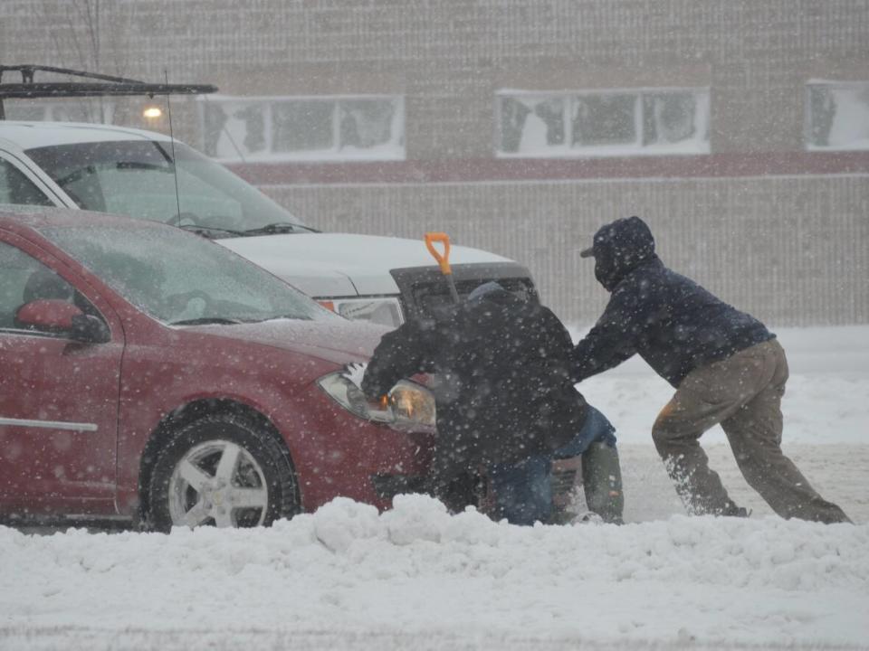
A weather system that developed over Saskatchewan left a mark on a large stretch of the United States this weekend and continued to roll through parts of the country on Monday.
Heavy winds and snow are a common experience during Saskatchewan winters, but the fast moving, low-pressure system brought similar conditions south of the border.
Ice and snow from the storm front landed as far south as Atlanta, Georgia, which recorded its first measurable amount of snow in four years, according to the U.S. National Weather Service.
When a weather system like this develops over the province before moving south of the border, American weather forecasters refer to it as a "Saskatchewan screamer."
If the system develops over Alberta it's known as an Alberta clipper, and if it comes from Manitoba, it's a Manitoba mauler.
In all cases, the weather system moves south and then east over the U.S., often bringing with it "light snow, strong winds, and colder temperatures," according to the National Oceanic and Atmospheric Administration.
And now is the time when the Saskatchewan screamers, Alberta clippers and Manitoba maulers develop, according to CBC meteorologist Fiona Odlum.
"Instead of tracking across Canada like it normally would the wind shifted and pushed [the system] south," Odlum said.
The storm that enveloped the U.S. this weekend continued to pummel the nation's east coast, prompting winter advisories for 27 states.
Between Jan.13, and Monday morning, the National Weather Service said the largest amount of snow — 57 cm — fell in Harpersfield, about 75 km northeast of Cleveland, the National Weather Service reported.
There is hope on the way that the storm is slowing down, but strong winds are still expected to persist into Tuesday.
Winter storm on its way for Sask.
The news isn't as good for Saskatchewan, which is expected to experience its own blast of winter weather.
Environment Canada has issued a winter storm warning for much of southern Saskatchewan.
Heavy snowfall is expected ahead of the system, with up to 20 cm possible along the Manitoba border.
The wind will pick up overnight for much of Saskatchewan, with gusts hitting between 70 km/h and 80 km/h over southern parts of the province.
Even stronger gusts are expected for southwestern parts of the province.
Temperatures are expected to drop to near -15 C.
