
Wind and snow whip Newfoundland and Labrador in 'double-bomb' storm
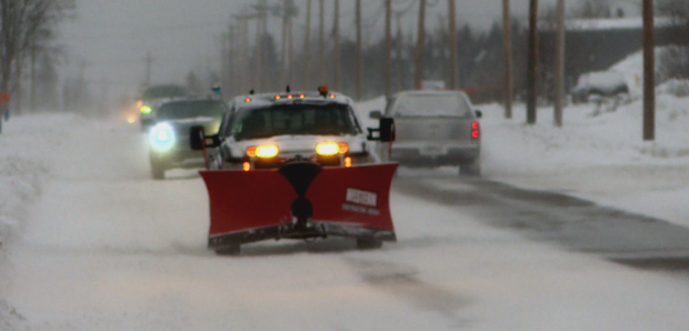
Heavy winds are hammering Newfoundland on Wednesday evening while Labrador hunkers down under multiple winter storm warnings.
The winds — up to 130 km/h in some parts of the Avalon Peninsula — and snow are part of what meteorologist Alex Kaminski says is a "double-bomb" winter storm.
"It's going be a long-winded storm," Kaminski said — and he means that literally.
Afternoon winds blew across most of the Avalon Peninsula at around 100 km/h and then picked up, with weather causing multiple cancellations and delays in both arrivals and departures at the St. John's International Airport, already stretching into Thursday morning.
The Goose Bay airport has also cancelled several incoming and outgoing flights for Wednesday afternoon and evening, but as of 6 p.m. Wednesday were still listing Thursday morning flights as being on time.
Environment Canada has issued wind warnings for most of the Avalon, with storm surge warnings affecting the northeast and east coasts of the peninsula.
The Northern Peninsula and west coast of the island are under winter storm warnings.
Wind warnings have been issued for Makkovik and Rigolet, while the rest of the Labrador coast braces under winter storm warnings.
In the St. John's metro area, Wednesday morning's snow turned into rain and then, in the evening, that rain will turn back into snow, said Kaminski.
'Double-bomb'
A pressure drop of 24 millibars in 24 hours is known as a "weather bomb." But Kaminski is expecting that by Wednesday night, the pressure will have dropped 48 millibars in 24 hours.
"This is actually a double bomb," he said. "It's significant."
The double-bomb will hit particularly hard in towns and areas along the northeast and east coasts of the Avalon, he said: Grates Cove, Cape St. Francis, Twillingate and the Bonavista Peninsula.
Those areas will be swept by very high winds, he said — "a bit more wind than what we're accustomed to."
All that wind will keep picking up throughout the afternoon, evening and night on Wednesday and continue into Thursday, he said.
"It's not going to be until [Thursday] afternoon that we see those winds start to subside," he said.
Saved by the moon
All that wind will cause storm surge, he said, but the current phase of the moon is in our favour.
Storm surges are worse in the early days of a full moon or new moon, he said, and with the moon is in the first quarter stage right now, it may not be as bad.
But there is still a chance of damage by pounding surf or flooding, he said, especially around high tide Thursday morning.
"Tie everything up," he said.
Read more from CBC Newfoundland and Labrador
