
Snow squalls could bring 15 to 25 cm of snow to Chatham-Kent amid cold snap in southwestern Ontario
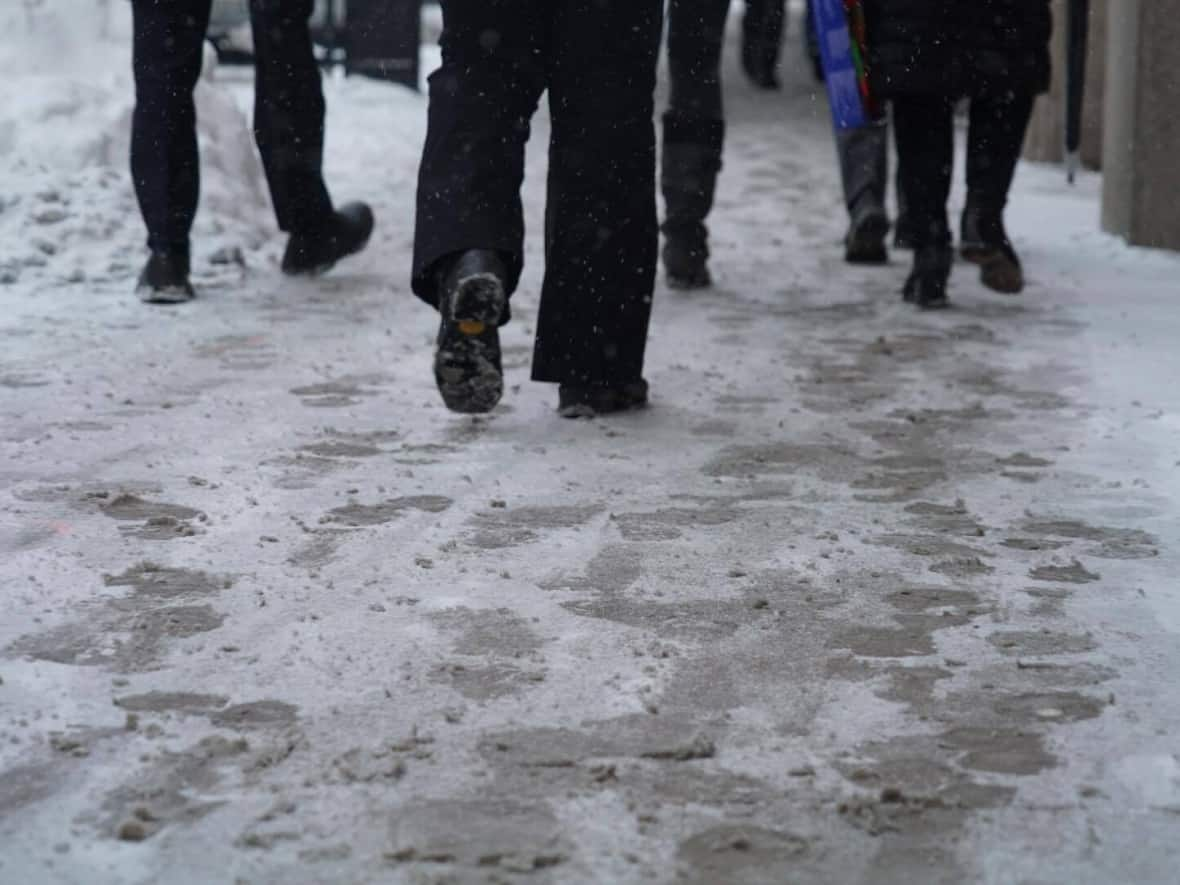
Chatham-Kent is under a snow squall watch Wednesday evening into Thursday, with 15 to 25 centimetres of snow expected for the region, according to a statement from Environment Canada.
The watch was issued by Environment Canada Wednesday around 5:30 p.m. and will remain in effect until Thursday night. It states that snow squalls off Lake Huron are expected to start tonight and go into tomorrow, which could significantly reduce visibility and cause blowing snow.
"Travel may be hazardous due to sudden change in the weather," the watch reads.
Highways, roads, walkways and parking lots might be difficult to get through due to accumulating snow, according to Environment Canada.
WATCH: Windsor resident takes advantage of warm weather Wednesday
It warns that should you become stranded, don't leave your vehicle.
These squalls are expected as the region also braces for a cold snap.
Windsorite Greg Mailloux was enjoying the warm temperatures Wednesday as he went out for a skate in Charles Clark Square.
"A nice day today, except for the wind," he said, adding he skates for the exercise and to keep his balance, because he struggles with Parkinson's Disease.
While temperatures reached a high of 6 C in Windsor on Wednesday, they'll be dropping to -6 C mid-day Thursday, feeling like -12 C with the wind chill. Cold temperatures like these are expected to last throughout the weekend and into early next week, according to Environment Canada's forecast.
Chatham-Kent is expected to see similar temperatures.
More from CBC Windsor

