
Three things that made the Eastern Canada cold snap so bizarre
A cold snap in Canada is hardly newsworthy, but this recent dance with Arctic air created an incredibly unique and extreme scenario that will be remembered for years to come.
MUST SEE: Huge temperature rebound coming for Eastern Canada, but there’s a catch
Freeze and dash
We know the feeling when winter digs its heels in, and we get endless days below seasonal. When this happens, the jet stream becomes highly amplified with blocking mechanisms to trap the cold.
We often look to Greenland for strong blocking, but that wasn’t the case. The lobe of the stratospheric polar vortex was free to swing readily across Eastern Canada but then made a swift exit. A ridge of high pressure filled in behind, causing temperatures to rise as fast as they fell.

Type of cold
Picture the coldest Canadian night imaginable. What did you think of it? Clear skies? Calm winds? A deep snowpack? This cold snap had none of these ingredients align because this type of cold is different. Meet advection cold.
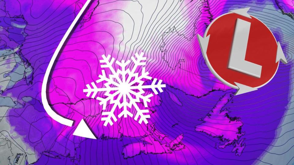
The cold air wasn’t developed on location. The imported cold was fed south by a strong low and the trajectory of the polar vortex. The polar vortex was swirling near Hudson Bay and was slingshotted south by favourable atmospheric dynamics.

The cold air wrapped around a developing low, lifting across Labrador. Not just any cold air, either -- the stratospheric polar vortex mixed down in what’s known as a tropopause fold and occurs near the core of a jet stream.
It’s why the Mount Washington Observatory recorded wind chills colder than Mars.
Unprecedented wind chills
Wind chill values plunged into the -30s through the Greater Toronto Area, the -40s through the National Capital Region and southern Quebec, and even touched -50 in sections of Quebec.
Wind chill records were broken across the Maritimes provinces Friday overnight, with a major one at Halifax Stanfield International Airport (YHZ) with the all-time wind chill record being broken at -43.
What drove these extreme values? The aforementioned low-pressure system heightened the pressure gradient across Atlantic Canada. Usually, this would have been an ordinary windstorm event with modest power outages, but the addition of the polar vortex created unprecedented wind chill values for some.

Record wind chills were not only felt across Eastern Canada but also throughout the northeastern United States. At the Mount Washington summit, the coldest-ever wind chill was recorded at -78, beating out the last record of -75 from Jan. 16, 2004.
Look ahead
Now that the extreme cold is in the past, for the time being, a strong Pacific jet will usher in warmer air right across the country. This means above-seasonal temperatures, gusty winds for the Prairies and the potential for messy low-pressure systems to disrupt commutes across Eastern Canada.
