
Updated mapping of Charlottetown Harbour aims to make navigation safer
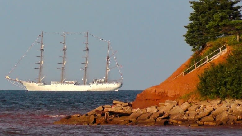
The Canadian Hydrographic Service is updating nautical charts for Charlottetown Harbour, which in some cases are based on data gathered in the mid-1930s.
The main channel ships use to sail in and out of port is surveyed regularly, but many other areas of the harbour included on the charts are based on very old data, officials say.
"The techniques that were used in the 1930s were accurate for the day, but by today's standards you could argue that they're relatively inaccurate," said Tom Rowsell, the acting director of the Canadian Hydrographic Service in Atlantic Canada.
Mariners have been pointing out errors and omissions on the current chart, he said.
Mapping a wider area
They're updating the charts using LIDAR laser surveys from an airplane, as well as multi-beam vessel surveying.
"Where in the old days one vertical pulse was sent down to get your depth, multi-beam sends out numerous sound waves in a fan shape and maps a wider area," Rowsell said.
The service plans to have the updated maps available this time next year.
Charlottetown is one of 23 high-priority commercial ports the hydrographic service is charting using $110 million over the next five years with the aim of making navigation safer. It's part of government's $1.5 billion Oceans Protection Plan.
The service has 300 charts in the Atlantic region and Rowsell said it's an ongoing program to keep them all updated.
At the same time, the federal Transportation Minister Marc Garneau announced government would spend $7.2 million over five years on a Marine Weather Information Services Demonstration Project, which will deploy five smart buoys — two on the west coast and three on the east coast — that will produce data for tailored weather forecasts, enhancing marine forecasting and improving marine navigation and safety.
More P.E.I. news

