
Warmest October on record for 12 B.C. communities, weather data shows
October was a drier and warmer month than average in British Columbia, according to Environment and Climate Change Canada, but a meteorologist says a wet winter is coming.
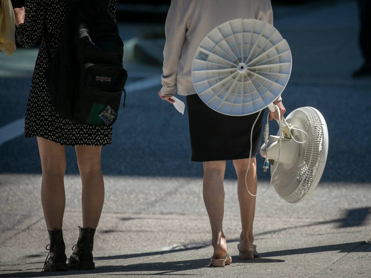
Twelve B.C. communities had their warmest October on record, with the province experiencing temperatures roughly 3 C warmer than average.
"Anywhere between 2 C to 3 C is something that everyone can feel on a daily basis. It's like it will probably, you know, affect your clothing choices," said Derek Lee, a meteorologist with Environment Canada.
Vernon and Chetwynd were 4.8 C warmer than average, the warmest-ever October for both communities since weather data collection was reported.
Williams Lake set a record of being 4.2 C warmer than usual since 1960.
It was also Kelowna's warmest October since 1899, at 3.8 C more than its usual average.
Vancouver recorded its second warmest October since 1896, about 1.7 C warmer than average, with warm spells for the first half of the month.
"During this period, we have seen multiple maximum daytime temperature records being broken all across B.C. and Vancouver area is to no surprise one of the places that has broken many records in terms of how warm it was," Lee said.
Driest October also recorded
Many regions in the province also broke records in October for its lack of rain.
Penticton, Williams Lake and Prince George recorded its driest October with just one millimetre, 4.4 millimetres and 6.5 millimetres of precipitation — far below the normal of 26 millimetres, 41 millimetres and 63.3 millimetres — respectively.
Campbell River and Quesnel experienced its third-driest October with 27.3 millimetres and 4.8 millimetres of precipitation, much less than their 162.2 millimetres and 52.6 millimetres monthly average.
The Vancouver area saw roughly 88.7 millimetres of rain in the last two weeks of October, less than the usual 121 millimetres, Lee said.
Cooler wet weather to follow
Lee says the late fall weather is associated with wet weather and in due fashion, heavy rainfall is expected for the South Coast in November.
However, Lee says, with cooler air mass coming into the Interior and making its way down to the Lower Mainland and Vancouver Island, colder-than-normal temperatures are expected, dipping to as low as 3 C to 4 C along the coast next week.
With temperatures dropping as fall progresses, Lee says there are chances of flurrying for places along Vancouver Island and in the higher terrain and inland sections of Metro Vancouver.
"However, the daytime highs should be warm enough that any snowfall we do see will be kind of wet flurries and they should be melting during the day," he said.
For the East Kootenay and Elk Valley region, Environment Canada has issued a snowfall warning of up to 20 centimetres.
The abnormally cool temperatures, Lee says, will be seen for a span of five days before the return of the storms from the Pacific, bringing more seasonal temperatures for the coastline.
He says atmospheric rivers are typical this time of the year, but that British Columbians shouldn't worry about storms coming into the South Coast starting the end of next week.
"Last year, indeed, the atmospheric river event was very strong and there was a lot of preceding conditions that led to the catastrophic failure of some parts of the province," he said.
"But not every atmospheric river is the same way, the same intensity and the same duration."

