
Wild winds and a blizzardy blast mark Monday in N.L.
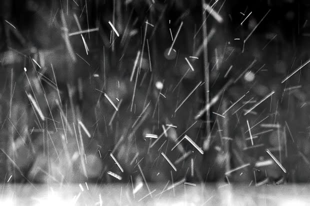
Forecasts of 150 km/h winds, dumps of snow and blizzards mark just some of the weather in store for Newfoundland and Labrador Monday, as almost the entire province sits under some sort of weather warning.
For the island, "the wind is gonna be the story," said Jody Boyd, an Environment Canada meteorologist based in Gander.
Southeasterly winds are set to blow throughout the day across the island, reaching gusts of 120 km/h along parts of the coast through central and eastern portions of Newfoundland, and could hit 150 km/h gusts on a stretch of the west coast from the Wreckhouse area all the way north to Daniel's Harbour.
Boyd said the peak will be from mid-to-late Monday afternoon into mid-evening, but as the winds shift to northwesterlies for the entire island, they will remain strong overnight.
"It's gonna be a day and a night to hold onto your hat, really," said Boyd.
Environment Canada is warning more than hats could be at risk, saying there could be damage to buildings, parks and forests, and advises that during the strongest gusts drivers may be at risk of losing control of their vehicles.
The spring storm has also caused school delays and cancellations, as well as disrupted travel — Marine Atlantic's ferries are tied up for the day, with potential cancellations in store for Monday night's crossings. The Department of Transportation was also advising drivers to stay off the Trans-Canada Highway in the Port aux Basques area Monday morning due to blowing snow and wind.
There will be a few centimetres of snow Monday morning for much of the island, switching over to rain and prompting rainfall warnings along the south coast.
A winter shot for Labrador
All of the Big Land, with the exception of Nain, is also expecting significant weather Monday.
The coast from Black Tickle to Hopedale is under a blizzard warning, with winds gusting up to 80 km/h and up to 25 centimetres of snow on the way.
Snowfall warnings are in place for the interior, with the Upper Lake Melville area expecting up to 25 centimetres, and Churchill Falls expecting about 10.
"Winter's not over in Labrador yet, by any stretch of the imagination," said Boyd.
