
Winter is back. Here's how cold, and snowy, it'll get over the next few days
The warmer-than-usual temperatures that some in Alberta have enjoyed over the past several weeks will soon come to an abrupt and snowy end.
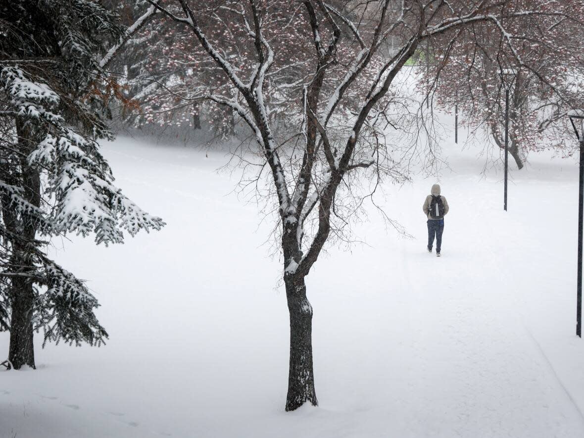
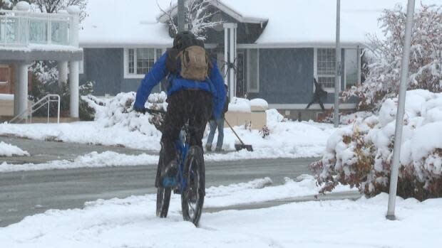
Parts of the province, including Calgary and the southern Foothills, will be blanketed with heavy snowfall set to begin on Sunday night, with some areas seeing up to 40 centimetres of snow accumulate over the coming days.
Weather models have forecasted that the worst of it will be around the mountain parks and Calgary may see maximum of 30 centimetres by Tuesday before it starts to taper off.
However, one weather expert says that it's unlikely we will get to that number.
"There are certainly some forecast models and model runs that are showing totals that high, but what you're looking for is ... the mean of all the different model runs," said Kyle Brittain, a weather expert and freelance video journalist.
"It might just be around 15 centimetres here [in Calgary]."
Following the snow will be a blast of frigid, Arctic air that will bring about the coldest temperatures southern Alberta has seen since December — with lows dropping below -20 C for the majority of the week before it starts to warm up again on Saturday.
Brittain explained that the snow system expected early in the week is what's called an up-slope storm which means that the air is flowing up the slope of the land and helps to enhance precipitation totals along the terrain such as the foothills and the mountains.
"You will see the highest totals of the snow in the mountains and along the foothills where the air is being forced to rise with," he said.
Travel and road conditions will be impacted throughout the southern parts of Alberta as the system of Arctic air makes its way into the region.
Not expecting the worst, but preparing anyway
During the colder months, the City of Calgary says crews work around the clock to respond to the snow. They are currently monitoring major routes and applying anti-icing materials as necessary to trouble spots.
"We're going to see quite a bit of snow here, but it's a little hard to kind of determine exactly how much," said Chris McGeachy, the spokesperson with the city's mobility department.
"We'll have additional contracted crews on Sunday night to help us deal with that snowfall."
Despite the forecast, McGeachy said he doesn't anticipate that a snow emergency event will be called — that occurs when heavy accumulation of snowfall, of 40 centimetres or more, falls over a short period of time.
"It would probably be more likely that we'd be calling a parking ban," McGeachy said.
He added that due to the difference and range of forecasts, a decision won't be made until they see what happens over the next day or two.
"You know we're seeing 5-10 centimetres , 10-15 and I've seen up to 20 centimetres. So [we] just have to see how it all falls here in the next 36 hours."
For the latest snow removal plans, updates and alerts, McGeachy said people can visit the city of Calgary's website.

