
Ducks Unlimited, First Nations and Métis partner to study N.W.T. boreal forest
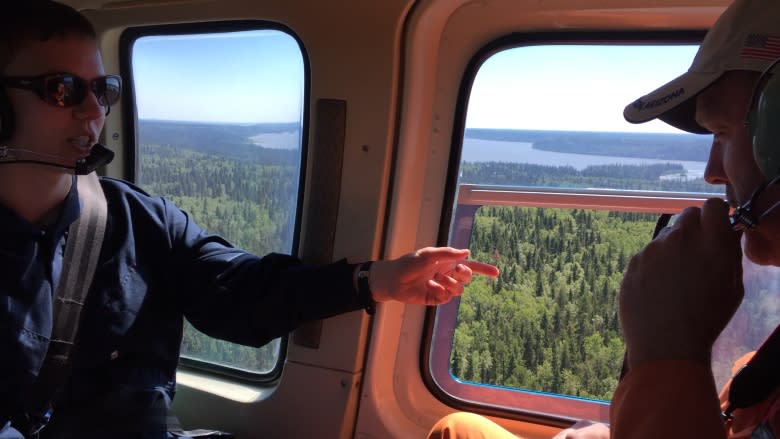
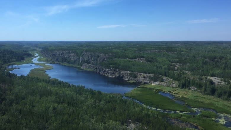
Ducks Unlimited Canada is in the middle of an ambitious survey of more than 31 million hectares of the Northwest Territories' wilderness. A team of technicians is flying over the territory by helicopter to get a closer look at the different facets of the boreal forest, in order to help with future land use planning.
"It's the biggest project we've ever done, to date," said Kevin Smith, national manager of Ducks Unlimited Canada's boreal program.
"We have four remote sensing analysts working on it, plus a number of technicians from Dene First Nations."
Smith said the First Nations and Métis involved in the project will use the data to inform their land claim and development plans.
The project will take about two years from start to finish, and result in a highly detailed digital map that will include information about existing habitats, and what plants make up those habitats.
"It's huge for [Ducks Unlimited], it's big for the First Nations and the Métis that live here and use the land," said analyst Michael Merchant.
"I know and hope that the data and the maps and classifications we're developing are going to be used for good purposes and to help maintain the land that the people use here."
Chief Louis Balsillie of Deninu Kue First Nation in Fort Resolution did not appear at a scheduled interview, so CBC does not yet know how the First Nation plans to use the information.
The Akaitcho land use planning process is underway, and Smith expects the maps will factor into that.
The data will also be made available to communities located in the study area: Lutselk'e, Fort Smith, Fort Resolution and Yellowknife.
It will also provide a baseline for studying impacts of climate change, with a high-resolution reference map that can be used in future comparisons.
The helicopter survey is a gruelling process of checking out sometimes more than 100 sites per day, zooming from one to the next, often only hovering at each site for less than a minute.
It's just long enough for Smith and remote sensing analyst Becca Warren to document a rough estimate of what is growing there, what type of land it is (from among dozens of possibilities) and a few other variables before heading off to repeat the process at the next site.
"It's tiring but also very exciting," said Warren.
"I can say being in the helicopter for most of the day is very tiring, all the swinging around. Some people like it — Kevin loves it — if you like rollercoasters, I'm not one of those people."
The analysts will be working from Yellowknife this week.
