
New exhibit at Chimczuk Museum highlights region's cartographic history
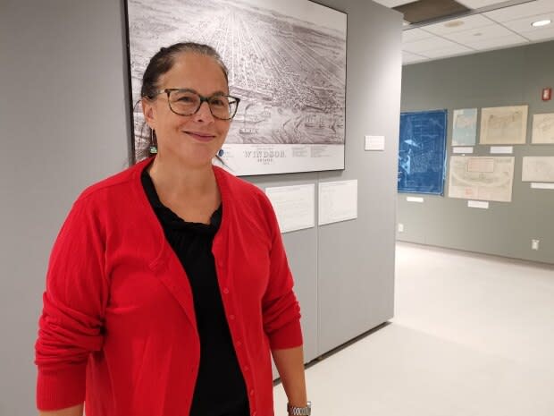
As Madelyn Dellla Valle walks through the Chimczuk Museum's newest exhibit, she points to a map on the wall.
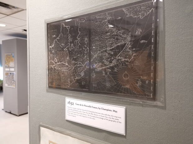
Della Valle, who serves as the curator for Museum Windsor, explains that the map dates back to 1632 and features a cartographic representation of New France, as surveyed by Samuel de Champlain.
She quickly moves to a different map, pointing out that it's a copy of Nicolas Sanson's Amerique septentrionale, which shows most of the five Great Lakes of North American in their entirety.
"[With] Lake Superior, they weren't sure it ended, so you notice it doesn't have a western edge," Della Valle said. "But by 1656, which is only six years later, Sanson, who is known as the father of French cartography, has come up with … the first time we have Lake Erie listed on a map."
The maps are part of the Chimczuk Museum's new "Navigating our Way — Maps of Windsor and Essex County" exhibit, which started its run on Sept. 28 and is expected to continue until March 2020.
According to Della Valle, the Chimczuk Museum has approximately 600 maps in its collection, ranging from copies to first editions to lithographs of original cartographs.
In designing the new exhibit, Della Valle said she personally selected 100 "that I thought would be of particular interest."
"People who do research occasionally see these, but mostly, the general public has never seen them," she said.
Della Valle came up with the idea for the exhibit several years ago, and said the museum has been collecting maps since the institution opened in 1958.
A chunk of the museum's cartographic collection originally came from George Macdonald, "who was responsible for actually setting up the museum," according to Della Valle.
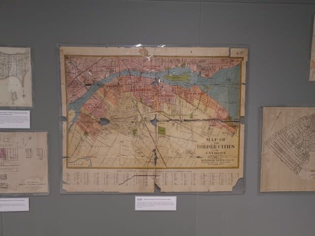
One of her favourite maps on exhibit is a bird's eye view of Windsor in 1878.
"This is obviously a reproduction, because we were actually able to blow it up a bit," she said. "I love this map, because … it shows the river in downtown Windsor in 1878 and it shows, in addition to the streets, there's all kinds of little buildings."
Della Valle said she's also excited about the 1878 map because it's one of the cartographs on exhibit that was translated into Braille.
Tactile Vision Graphics out of Windsor helped translate the map into Braille, providing visitors who are blind or low-vision with the chance to see the cartograph's street lines, as well as read explanatory material and indices.
In addition to maps pulled from the museum's collection, the new exhibit also features artifacts, like a brass circumferentor on display.
Listen to CBC Windsor's Jonathan Pinto talk about the new exhibit with Afternoon Drive host Chris dela Torre:

