
Gusty winds, heavy rains prompt flood warnings across Eastern United States
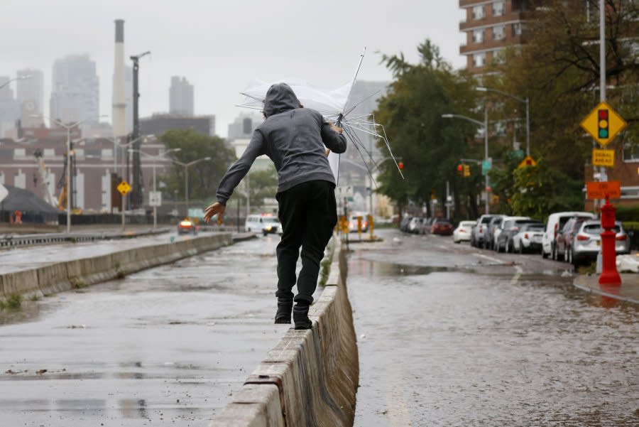
Dec. 10 (UPI) -- A swath of heavy rain and increasing winds is profoundly impacting travel in the eastern part of the United States Sunday as a storm intensified and traveled northeastward.
The effects of the storm are likely to last through Monday with localized flooding deemed likely along with the risk of regional power outages, AccuWeather meteorologists warned.
Heavy rain may lead to street flooding and ponding along highways with poor drainage as 1-2 inches of rain is predicted to fall across a broad area in 12 hours or less. Pockets where 2-4 inches of rain are expected to fall will extend across the southern and central Appalachians and from eastern North Carolina through most of Maine.
"There are 2-4 inches of water locked up in the snowpack across the Green and White Mountains of New England," AccuWeather Senior Meteorologist Adam Douty said. "The heavy rain, in addition to water released by melting snow, could have the effect of 4-8 inches of rain falling, which will greatly increase the stream and river flooding threat across portions of Vermont and New Hampshire."
Substantial flooding in Maine is also a concern.
Forecasters are also outlining the potential for intense rainfall across parts of Connecticut, Rhode Island and central Massachusetts throughout the overnight hours Sunday night. The dangerous combination of heavy rainfall rates quickly saturating the ground and gusty winds blowing across the region could lead to zones of flash flooding, downed trees and power outages across the region.
Rare December thunderstorms may accompany the rain in the East, most likely in the southeastern portion of the country. However, localized high winds are in store with and without thunder and lightning. The strongest winds will be along the Atlantic coast and especially in the Northeast.
Not only will winds become strong enough to knock over trees and break off large limbs, but regional power outages are likely. Some roads will be blocked by debris, and property damage is possible along the Eastern Seaboard, again especially in the Northeast. Holiday decorations may be damaged or blown away if not securely fastened down.
"People along the 95 corridor, especially from Philadelphia, New York City and Boston, should be monitoring this storm, which will bring steady, soaking rain before high winds join in with the heavy rain from Sunday night into Monday morning," AccuWeather Meteorologist Dean DeVore said.
Travel on the roads and around airports will be problematic, especially from late Sunday through Sunday night. Power outages can occur across the region during this time, particularly from the mid-Atlantic coast to coastal New England.
At their peak, winds could gust to 50 mph around New York City and Boston, with higher gusts of 60-70 possible on Long Island and along the southern coast of Massachusetts, including Cape Cod, Nantucket and Martha's Vineyard. The AccuWeather Local StormMax wind gust is 85 mph.
"It appears as if the high tide from Sunday night to early Monday may correspond to the time of strongest southerly wind," Douty explained. "Factor this, along with a high astronomical tide associated with the new moon, and we feel coastal flooding is likely along south-facing coasts in southern New England and perhaps the New York City area."
A storm surge of 2-3 feet above typical tides is anticipated.
On Sunday, southerly winds will not yet be at their peak from the storm farther to the south along the Eastern Seaboard. However, the winds will still push some water northward over the Chesapeake and Delaware Bays, which can also lead to flooding. A water level rise of 1-2 feet above normal tides is possible within the northern portions of the mid-Atlantic bays.

