
What you need to know about the winter storm headed for the GTA
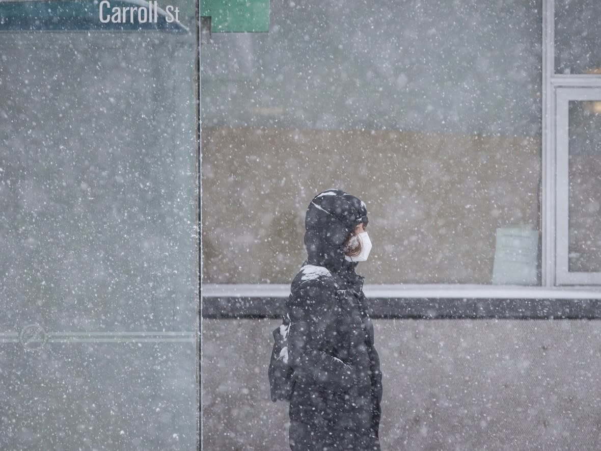
A burst of winter weather is in the forecast for the Greater Toronto Area on Wednesday, Environment Canada says.
A snowfall warning by the federal weather agency says Toronto could see 15 to 20 centimetres fall starting Wednesday afternoon into Thursday morning.
Similar alerts are in effect for Halton, Peel, York and Durham regions according to Environment Canada, which says a Texas low tracking northeastward is likely what's bringing the colder weather to the GTA.
Rob Kuhn, a severe weather meteorologist with Environment Canada, says he expects roughly 10 centimetres of snow to fall between noon and 6 p.m. today, and another 10 centimetres through the evening and overnight into tomorrow.
Heavy snow will likely make for messy commutes this evening and Thursday morning, he said. Isolated power outages are also possible in some areas.
Crews and contractors with the City of Toronto were out last night applying liquid brine on highways, bridges, hills and priority intersections, says Vincent Sferrazza, maintenance and operations director with transportation services.
Sferrazza says he expects the storm could necessitate six to eight rounds of plowing on major arterial roads and up to three rounds on local streets.
"This is going to take a few days, going into the weekend," he says. "It's all hands on deck, we are ready to go."
He adds that some snow removal will likely be required as well, particularly for protected bike lanes, streetcar routes, bus stops and pedestrian walkways. That work would begin over the weekend and continue into next week.
"I ask our residents to please be patient. Let our operators get to their beats, let them finish. And then, certainly, they can notify us through 311 to identify any areas that perhaps we may have missed or may need further work," Sferrazza says.
How the storm will affect your commute
CBC Meteorologist Colette Kennedy says Wednesday morning may see some scattered flurries that will escalate into rapid snowfall by the afternoon, at rates one to three centimetres every hour.
Conditions are expected to change quickly and could catch people off guard.
"They will get to work but then have trouble getting home," says Kennedy.
Sferrazza also points out that plows will likely be operating during rush hours, which will further slow down commutes.
For those closer to Toronto and the lakeshore, the temperature will likely rise to just above freezing, resulting in more of a "sloppy mix" with lower snow accumulations, Kennedy says.
Some areas, including land in the Hamilton area, could see up to 25 centimetres, Kennedy says.
Meanwhile, GO Transit says that its trains will be running on reduced and adjusted schedules to "ensure reliability and safety for passengers." Passengers are advised to check the GO website before heading out.
Toronto Pearson airport is also advising travellers to check their flight status online before leaving home.
The worst of the storm should wrap up overnight, with only leftover snow and flurries expected for Thursday morning's commute.

