
Laser, sonar technology finds this Northern California reservoir’s capacity has shrunk by 3%
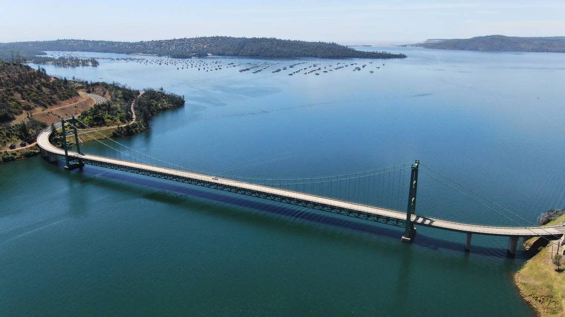
The state Department of Water Resources has started using laser and sonar technology to measure reservoir capacity, determining that Lake Oroville, the State Water Project’s largest reservoir, has shrunk since its creation in 1960.
In 2021, the DWR used laser pulses mounted on an airplane to map parts of the basin’s terrain that were not underwater at the time due to historically low lake levels. Following that, in 2022, a boat sent sonar pulses into Lake Oroville to map the underwater terrain. Engineers calculated that the reservoir had 3% less capacity — over 100,000 acre-feet — than previously estimated.
“You could even detect the old intact roadways and train tracks that were used during the dam’s construction in the ’60s,” said Tony Squellati, manager for the photogrammetry and computer mapping unit of DWR’s Division of Engineering-Geomatics, in a news release.
The change in lake volume can be attributed to sediments such as rock and silt accumulating on the lakebed floor in the six decades since the construction of the Oroville Dam, as well as swings between weather extremes such as drought and rain. DWR started using the new data on storage capacity to inform water operation calculations on Monday.
California’s reservoirs continue to see historically high levels, with nearly all major reservoirs exceeding their historical averages after record winter storms in 2023 turned the state largely drought-free. Sitting at 95% capacity, Lake Oroville is currently at 121% of its historical average. In May, capacity nearly topped 100% for the second consecutive year, according to DWR data.
With capacity levels in the 80 percentile, Folsom Lake is at 114% of its historical average, Shasta Lake is at 113% and New Melones Lake is at 133%. All three reservoirs are operated by the federal government’s Central Valley Project.
Lake Oroville provides water for millions of Californians, releasing water down the Feather and Sacramento rivers and into the Sacramento-San Joaquin Delta. Some of the water is diverted into the South Bay Aqueduct to supply counties like Alameda and Santa Clara, while the rest of the water flows onto Central Valley farmland and Southern California cities.
The Oroville Dam opened in 1968 and is the tallest dam in the U.S. at 770 feet. Located just northeast of Oroville city limits, water from the dam’s main spillway flows into the Feather River.
The dam was the center of a crisis in 2017 when torrential rainfall damaged the main spillway. When rerouted water threatened failure on the dam’s emergency spillway, more than 180,000 residents downstream of the dam in Butte, Sutter and Yuba counties were ordered to evacuate.
Extensive repairs costing more than $630 million followed, and state water officials let water flow down the newly rebuilt spillway for the first time in April 2019. A forensic team determined the crisis resulted from “long-term systemic failure” by both state water officials and federal regulators, writing in a nearly 600-page report that design flaws were exacerbated by insufficient repair work over the years.
The Department of Water Resources says repairs and improvements made during 2017 and 2018 have brought the dam up to “state-of-the-art” standards.

