
Latest storm could bring nearly 15 cm of snow to Ottawa, 30 cm to Kingston
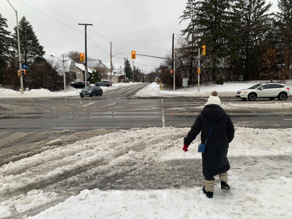
This week's second snowstorm is forecast to hit the Kingston and Belleville area the hardest starting late Friday night, but the Ottawa region isn't getting off unscathed.
Environment Canada expanded snowfall and winter storm warnings early Friday afternoon to cover almost all of eastern Ontario. Some forecasts now call for slightly more snow.
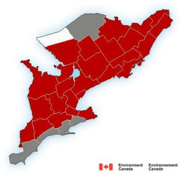
Kingston is expected to get at least 15 centimetres of snow by Saturday morning, possibly blowing at times, and upwards of 30 centimetres in all.
Environment Canada said heavy snow could bring five centimetres in a one-hour period.
Belleville could get 15 to 25 centimetres and the Tweed and Brockville areas could get 15 to 20 centimetres of snow.
Further away, Ottawa-Gatineau, Cornwall, Renfrew County, Lanark County and Prescott-Russell are forecast to get near 15 centimetres.
The rest of western Quebec and the Deep River area can expect 10 to 15 centimetres of snow, according to their weather alerts.
Ottawa's international airport measured 15.4 centimetres of snow Tuesday and 15.6 centimetres the previous Thursday.
In all, the capital has had nearly three metres of snow since the first flakes fell and 11 days with 10 or more centimetres of snow since the official start of winter.
It's also been warmer than normal — and true to form, Sunday's forecasted high is 3 C and Monday's is 4 C.

