
PHOTOS: Downed trees and huge hail with tornado-warned storms in Ontario
The threat for severe thunderstorms spanned much of southern Ontario, and Quebec on Wednesday, as a soupy, tropical air mass helped to fuel the unstable conditions.
By 2 p.m. ET, the first of the tornado warnings were already covering parts of Ontario's cottage country, including the city of Orillia, Bracebridge, and Gravenhurst. Additional tornado warnings, and severe thunderstorm watches and warnings lined the region through the evening and overnight hours.
MUST SEE: Watch? Warning? How we communicate severe weather in Canada
Damaging winds, heavy rain, frequent lightning, and large hail accompanied Wednesday's storm threat, with reports of three inch-sized hail in areas from Talbot up to Coboconk, Ont.
Power outages and downed trees were also reported amid the stormy conditions, with the largest swath of outages affecting customers north of Barrie and Orillia. Before the dinner hour, more than 30,000 were left in the dark, and outages continued well into the night.
This was a close call. Power is out in Orillia because of the close lightning strike, just up the street. I didn't catch the 'bolt but you can hear the thunder and I did record the sparks on the power line/hydro pole. #ONstorm #ONwx pic.twitter.com/Zk8GPPGr7Q
This was a close call. Power is out in Orillia because of the close lightning strike, just up the street. I didn't catch the 'bolt but you can hear the thunder and I did record the sparks on the power line/hydro pole. Nathan Howes TWN on Twitter: "This was a close call. Power is out in Orillia because of the close lightning strike, just up the street. I didn't catch the 'bolt but you can hear the thunder and I did record the sparks on the power line/hydro pole. #ONstorm #ONwx pic.twitter.com/Zk8GPPGr7Q / Twitter" Nathan Howes TWN on Twitter: "This was a close call. Power is out in Orillia because of the close lightning strike, just up the street. I didn't catch the 'bolt but you can hear the thunder and I did record the sparks on the power line/hydro pole. #ONstorm #ONwx pic.twitter.com/Zk8GPPGr7Q / Twitter" Nathan Howes TWN on Twitter: "This was a close call. Power is out in Orillia because of the close lightning strike, just up the street. I didn't catch the 'bolt but you can hear the thunder and I did record the sparks on the power line/hydro pole. #ONstorm #ONwx pic.twitter.com/Zk8GPPGr7Q / Twitter"
— Nathan Howes TWN (@HowesNathan) Nathan Howes TWN on Twitter: "This was a close call. Power is out in Orillia because of the close lightning strike, just up the street. I didn't catch the 'bolt but you can hear the thunder and I did record the sparks on the power line/hydro pole. #ONstorm #ONwx pic.twitter.com/Zk8GPPGr7Q / Twitter"
This was the third consecutive day with a looming storm risk, but with the most severe conditions threatening the region Wednesday. That's as a cold front and low pressure system sliced through the hot and humid air mass that had been building over the past five days.
The thunderstorm risk will continue across parts of Quebec on Thursday as the storm system pushes eastwards, so be sure to stay weather-aware, and up-to-date on all of the watches and warnings in your area.
Here's a closer look at Wednesday's storm as it erupted over social media:
Rotation and a wallcloud sw of us near Honeywell. @weathernetwork #onstorm pic.twitter.com/ZZA0JyydIj
Rotation and a wallcloud sw of us near Honeywell. Mark Robinson on Twitter: "Rotation and a wallcloud sw of us near Honeywell. @weathernetwork #onstorm pic.twitter.com/ZZA0JyydIj / Twitter" Mark Robinson on Twitter: "Rotation and a wallcloud sw of us near Honeywell. @weathernetwork #onstorm pic.twitter.com/ZZA0JyydIj / Twitter" Mark Robinson on Twitter: "Rotation and a wallcloud sw of us near Honeywell. @weathernetwork #onstorm pic.twitter.com/ZZA0JyydIj / Twitter"
— Mark Robinson (@StormhunterTWN) Mark Robinson on Twitter: "Rotation and a wallcloud sw of us near Honeywell. @weathernetwork #onstorm pic.twitter.com/ZZA0JyydIj / Twitter"
Here for this ⛈️ #ShareYourWeather pic.twitter.com/xbFm4efLbS
Here for this ⛈️ Rachel Modestino TWN on Twitter: "Here for this ⛈️ #ShareYourWeather pic.twitter.com/xbFm4efLbS / Twitter" Rachel Modestino TWN on Twitter: "Here for this ⛈️ #ShareYourWeather pic.twitter.com/xbFm4efLbS / Twitter"
— Rachel Modestino TWN (@ThatMetGirl) Rachel Modestino TWN on Twitter: "Here for this ⛈️ #ShareYourWeather pic.twitter.com/xbFm4efLbS / Twitter"
Some hail today in Brechin ON @weathernetwork pic.twitter.com/neZlwlkOO2
Some hail today in Brechin ON Kevin Smith on Twitter: "Some hail today in Brechin ON @weathernetwork pic.twitter.com/neZlwlkOO2 / Twitter" Kevin Smith on Twitter: "Some hail today in Brechin ON @weathernetwork pic.twitter.com/neZlwlkOO2 / Twitter"
— Kevin Smith (@Kevinsportscam) Kevin Smith on Twitter: "Some hail today in Brechin ON @weathernetwork pic.twitter.com/neZlwlkOO2 / Twitter"
Tea Cup (75mm/3") hail north of Talbot, ON #ONstorm44.552092,-79.152580 pic.twitter.com/gRNeEYrtIf
Tea Cup (75mm/3") hail north of Talbot, ON NZP Chasers on Twitter: "Tea Cup (75mm/3") hail north of Talbot, ON #ONstorm44.552092,-79.152580 pic.twitter.com/gRNeEYrtIf / Twitter"
44.552092,-79.152580 NZP Chasers on Twitter: "Tea Cup (75mm/3") hail north of Talbot, ON #ONstorm44.552092,-79.152580 pic.twitter.com/gRNeEYrtIf / Twitter"— NZP Chasers (@NZPChasers) NZP Chasers on Twitter: "Tea Cup (75mm/3") hail north of Talbot, ON #ONstorm44.552092,-79.152580 pic.twitter.com/gRNeEYrtIf / Twitter"
Only damage I've found so far in the Riverview area is a tree on the lines that are arcing #onstorm pic.twitter.com/xgR3a9cVMu
Only damage I've found so far in the Riverview area is a tree on the lines that are arcing Kirk MacDonald on Twitter: "Only damage I've found so far in the Riverview area is a tree on the lines that are arcing #onstorm pic.twitter.com/xgR3a9cVMu / Twitter" Kirk MacDonald on Twitter: "Only damage I've found so far in the Riverview area is a tree on the lines that are arcing #onstorm pic.twitter.com/xgR3a9cVMu / Twitter"
— Kirk MacDonald (@KirkMacDonald5) Kirk MacDonald on Twitter: "Only damage I've found so far in the Riverview area is a tree on the lines that are arcing #onstorm pic.twitter.com/xgR3a9cVMu / Twitter"
Caught this intense lightning and massive shelf in tornado warned storm in Newmarket. What a night! @weathernetwork @ThatMetGirl #Onstorm #onwx #tornadowarning pic.twitter.com/UKyfCjJOVb
Caught this intense lightning and massive shelf in tornado warned storm in Newmarket. What a night! Janet Luu ( Gilkes ) on Twitter: "Caught this intense lightning and massive shelf in tornado warned storm in Newmarket. What a night! @weathernetwork @ThatMetGirl #Onstorm #onwx #tornadowarning pic.twitter.com/UKyfCjJOVb / Twitter" Janet Luu ( Gilkes ) on Twitter: "Caught this intense lightning and massive shelf in tornado warned storm in Newmarket. What a night! @weathernetwork @ThatMetGirl #Onstorm #onwx #tornadowarning pic.twitter.com/UKyfCjJOVb / Twitter" Janet Luu ( Gilkes ) on Twitter: "Caught this intense lightning and massive shelf in tornado warned storm in Newmarket. What a night! @weathernetwork @ThatMetGirl #Onstorm #onwx #tornadowarning pic.twitter.com/UKyfCjJOVb / Twitter" Janet Luu ( Gilkes ) on Twitter: "Caught this intense lightning and massive shelf in tornado warned storm in Newmarket. What a night! @weathernetwork @ThatMetGirl #Onstorm #onwx #tornadowarning pic.twitter.com/UKyfCjJOVb / Twitter" Janet Luu ( Gilkes ) on Twitter: "Caught this intense lightning and massive shelf in tornado warned storm in Newmarket. What a night! @weathernetwork @ThatMetGirl #Onstorm #onwx #tornadowarning pic.twitter.com/UKyfCjJOVb / Twitter" Janet Luu ( Gilkes ) on Twitter: "Caught this intense lightning and massive shelf in tornado warned storm in Newmarket. What a night! @weathernetwork @ThatMetGirl #Onstorm #onwx #tornadowarning pic.twitter.com/UKyfCjJOVb / Twitter"
— Janet Luu ( Gilkes ) (@JanGilkes) Janet Luu ( Gilkes ) on Twitter: "Caught this intense lightning and massive shelf in tornado warned storm in Newmarket. What a night! @weathernetwork @ThatMetGirl #Onstorm #onwx #tornadowarning pic.twitter.com/UKyfCjJOVb / Twitter"
Possible wall cloud northwest of Shelburne 2:50?pm #onstorm @IWeatherON pic.twitter.com/vr6g6jog0W
Possible wall cloud northwest of Shelburne 2:50?pm Kirk MacDonald on Twitter: "Possible wall cloud northwest of Shelburne 2:50?pm #onstorm @IWeatherON pic.twitter.com/vr6g6jog0W / Twitter" Kirk MacDonald on Twitter: "Possible wall cloud northwest of Shelburne 2:50?pm #onstorm @IWeatherON pic.twitter.com/vr6g6jog0W / Twitter" Kirk MacDonald on Twitter: "Possible wall cloud northwest of Shelburne 2:50?pm #onstorm @IWeatherON pic.twitter.com/vr6g6jog0W / Twitter"
— Kirk MacDonald (@KirkMacDonald5) Kirk MacDonald on Twitter: "Possible wall cloud northwest of Shelburne 2:50?pm #onstorm @IWeatherON pic.twitter.com/vr6g6jog0W / Twitter"
CRAZY wind and hail in the core of this near Shelburne #onwx #onstorm @StormhunterTWN @alluringstorms pic.twitter.com/zpOCkVJeJn
CRAZY wind and hail in the core of this near Shelburne odawg on Twitter: "CRAZY wind and hail in the core of this near Shelburne #onwx #onstorm @StormhunterTWN @alluringstorms pic.twitter.com/zpOCkVJeJn / Twitter" odawg on Twitter: "CRAZY wind and hail in the core of this near Shelburne #onwx #onstorm @StormhunterTWN @alluringstorms pic.twitter.com/zpOCkVJeJn / Twitter" odawg on Twitter: "CRAZY wind and hail in the core of this near Shelburne #onwx #onstorm @StormhunterTWN @alluringstorms pic.twitter.com/zpOCkVJeJn / Twitter" odawg on Twitter: "CRAZY wind and hail in the core of this near Shelburne #onwx #onstorm @StormhunterTWN @alluringstorms pic.twitter.com/zpOCkVJeJn / Twitter" odawg on Twitter: "CRAZY wind and hail in the core of this near Shelburne #onwx #onstorm @StormhunterTWN @alluringstorms pic.twitter.com/zpOCkVJeJn / Twitter"
— odawg (@odawg1019) odawg on Twitter: "CRAZY wind and hail in the core of this near Shelburne #onwx #onstorm @StormhunterTWN @alluringstorms pic.twitter.com/zpOCkVJeJn / Twitter"
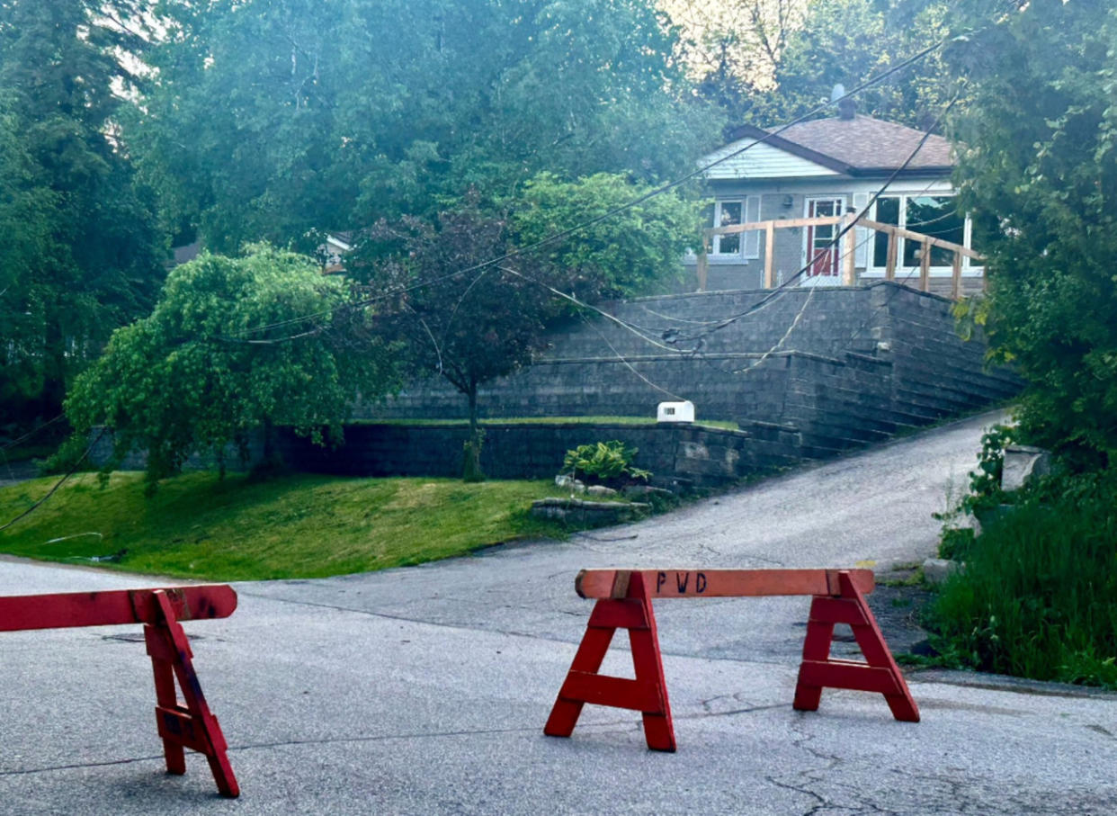
Better shots of the downed tree. It took down some power lines. Both sides are blocked to traffic. #Orillia #ONstorm #ONwx pic.twitter.com/HrIWZAyJqL
Better shots of the downed tree. It took down some power lines. Both sides are blocked to traffic. Nathan Howes TWN on Twitter: "Better shots of the downed tree. It took down some power lines. Both sides are blocked to traffic. #Orillia #ONstorm #ONwx pic.twitter.com/HrIWZAyJqL / Twitter" Nathan Howes TWN on Twitter: "Better shots of the downed tree. It took down some power lines. Both sides are blocked to traffic. #Orillia #ONstorm #ONwx pic.twitter.com/HrIWZAyJqL / Twitter" Nathan Howes TWN on Twitter: "Better shots of the downed tree. It took down some power lines. Both sides are blocked to traffic. #Orillia #ONstorm #ONwx pic.twitter.com/HrIWZAyJqL / Twitter" Nathan Howes TWN on Twitter: "Better shots of the downed tree. It took down some power lines. Both sides are blocked to traffic. #Orillia #ONstorm #ONwx pic.twitter.com/HrIWZAyJqL / Twitter"
— Nathan Howes TWN (@HowesNathan) Nathan Howes TWN on Twitter: "Better shots of the downed tree. It took down some power lines. Both sides are blocked to traffic. #Orillia #ONstorm #ONwx pic.twitter.com/HrIWZAyJqL / Twitter"
Getting a bit uhhh, wow here near Fergus. @weathernetwork #onstorm pic.twitter.com/JhPMZpvZXu
Getting a bit uhhh, wow here near Fergus. Mark Robinson on Twitter: "Getting a bit uhhh, wow here near Fergus. @weathernetwork #onstorm pic.twitter.com/JhPMZpvZXu / Twitter" Mark Robinson on Twitter: "Getting a bit uhhh, wow here near Fergus. @weathernetwork #onstorm pic.twitter.com/JhPMZpvZXu / Twitter" Mark Robinson on Twitter: "Getting a bit uhhh, wow here near Fergus. @weathernetwork #onstorm pic.twitter.com/JhPMZpvZXu / Twitter"
— Mark Robinson (@StormhunterTWN) Mark Robinson on Twitter: "Getting a bit uhhh, wow here near Fergus. @weathernetwork #onstorm pic.twitter.com/JhPMZpvZXu / Twitter"

