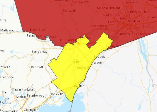
Severe thunderstorm, rainfall warnings lifted for Ottawa-Gatineau
Environment Canada has lifted the second of two severe thunderstorm warnings issued Sunday for the Ottawa-Gatineau area.
As of 7 p.m., the latest storm had passed through the nation's capital and was near Hammond, Ont., heading east at around 60 km/h, the weather agency said.
It has the potential to generate 90 km/h wind gusts, Environment Canada said in a severe thunderstorm warning for the Clarence-Rockland area.
An earlier thunderstorm warning Sunday for the nation's capital was lifted at around 4:50 p.m. Rainfall warnings had also been in place across eastern Ontario for most of the weekend, but they have been lifted.
In its earlier rainfall warning for Ottawa, Environment Canada said between 25 and 50 millimetres of rain could fall in Ottawa on Sunday.
Nearby municipalities including Pembroke and Carleton Place were in line for similar amounts of rain, increasing to as much as 80 millimetres in some places like Renfrew and Bancroft, the weather agency previously said.
Heavy rain could lead to flash floods and water pooling on roads, Environment Canada said in its warnings. People should also be on the alert for washouts near rivers, creeks and culverts.
Several rainfall warnings were still in place as of 7 p.m. in western Quebec.