Residents of new Kent County municipality challenge proposed election map


Residents from a newly created rural municipality in Kent County say they don't want to end up in the same provincial election riding with a portion of northeast Moncton.
They told an independent commission redrawing New Brunswick's 49-riding election map that they don't have much in common with the fast-growing city and have more links to other Kent County municipalities.
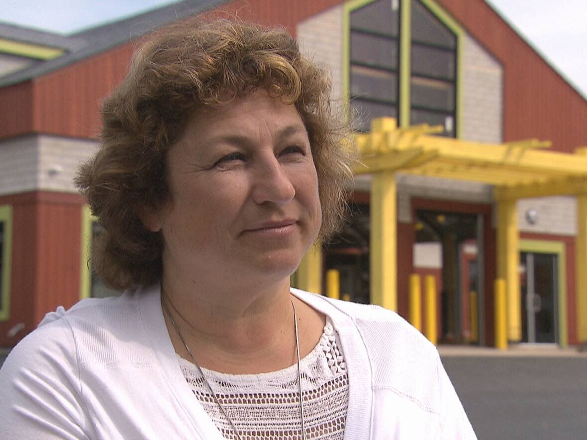
"I think we have legitimate concerns that we have a rural area, and how will we be represented in this new riding?" said Rachelle Richard-Collette, a resident of the new municipality of Champdoré.
Catherine Léger, another resident of the new municipality that came into being Jan. 1 through local government reform, also asked the commission to reconsider.
"If we don't band together in a map style to keep all of these interests within our boundaries … we're going lose some of it. It's not going to enrich our area," she said.
The two women were reacting to a proposed new map that the independent commission released in December.
Under provincial law, the 49 constituencies have to be redrawn every decade to account for how the number of voters in each riding have changed.
Each of the new ridings must be within 15 per cent of the provincial average of 11,667 voters per constituency.
The commission must release a final version 90 days after the date of the draft version in December, which means early March.
MLA knows region 'like the back of his hand'
This week's public feedback sessions are designed to gather alternate proposals.
Richard-Collette asked commission co-chair Camille Thériault, a former Liberal premier, to explain the logic of attaching rural Champdoré to urban Moncton.

As a former Kent South MLA, Thériault "obviously knows the region like the back of his hand," she said.
But Thériault remained silent during the entire 30-minute meeting.
Instead, the other co-chair, former Progressive Conservative MP Roger Clinch, said it was not their job to explain the logic of the initial map.
"As far as giving the rationale for how we ended up here or how we ended up there, that's definitely not our purpose. But we are certainly open to any suggestions you might have as to how we can make it better," he said.
Richard-Collette complained that citizens don't have access to the maps and data that the commission had.
She also said that the timeline – during Christmas holidays and when new councils of newly created municipalities were taking office – made it difficult for communities to draft proposals.
"It's not that we're opposed to Moncton. Of course not. We're in and out of Moncton all the time. But the community interest, with the language, the schools, the rural issues, agriculture, that is a serious, serious consideration in the regrouping," she said.
"Our affinity is with Bouctouche and Cocagne in the southern part of the county, so I think that needs to be respected."
The meetings will continue until Saturday.
After that, the commission will finalize the new map, which will come into effect in the next provincial election in 2024.


