
How satellites can play a role in the future of farming on P.E.I.
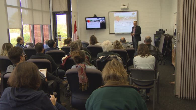
Agricultural specialists met in Charlottetown to learn how satellites can teach them about farming on Prince Edward Island.
The presentation, called Space for Agriculture, hosted at the Charlottetown Research and Development Centre, provided information about how satellites are helping to map agriculture in Canada and how this technology is changing over time.
The talk showcased data collected through observation mapping that uses satellite imagery to monitor the Earth's surface.
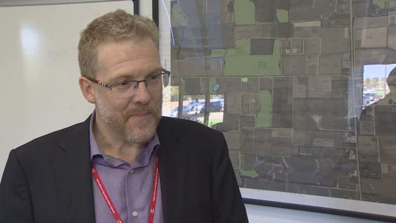
"What we have are sensors aboard satellites, aircraft and drones that allow us to say something about the health and type of vegetation on the surface of the Earth," said Andrew Davidson, manager of Earth observation operations at Agriculture Canada.
Monitor changes in land
Davidson, who led the discussion, said satellite technology is able to create "wall-to-wall" coverage over all of Canada's agricultural land, even regions that are difficult for researchers to get to.
"Of course we can't access all of Canada's agricultural regions," he said. "So what it allows us to do is get a very spatially comprehensive picture of what's going on in a very cost effective and timely fashion."
One of the main uses of Earth observation, Davidson said, is to track land use change over time. The data is being used by Agriculture Canada and provincial governments to track environmental metrics and monitor changes in the land.
Earth observation data is also an inexpensive way to provide more detailed information about agricultural land, Davidson said.
"We use data from a lot of the space agencies that's free to us. We're using data from America, from Japan from the European space agency and all of this data — at least most of this data — is provided free of charge."
The data is also available on the Agriculture Canada website.
'Where are the gaps?'
Scott Anderson, knowledge transfer specialist with Agriculture Canada in Charlottetown, has been involved in collecting data in P.E.I. and New Brunswick for the Earth observation mapping project for the last five years.
His team has been the local eyes for the project here in P.E.I., identifying intensive agricultural areas and helping to correlate satellite images with different types of crops.
"It's kind of neat to have somebody from a national lens come down and and talk about products that are quite applicable to the Island as well," he said.
The information will be helpful down the road for provincial government and universities, who are always looking for data for different projects, he said, as well as agricultural producers on P.E.I. who show an interest in new technologies.
Davidson said the opportunity to travel to the provinces and talk with agricultural producers about how this data can be useful to them is an important part of the project.
"What I want to really do is find out, where are the gaps?" Davidson said. "What can we be doing better and how could we support the agricultural business not just in Canada but in P.E.I., as well."
-
MORE P.E.I. NEWS | Indigenous Justice Forum hears message of education, reconciliation
-
MORE P.E.I. NEWS | More options for student loan repayment making difference, say province, student unions
