
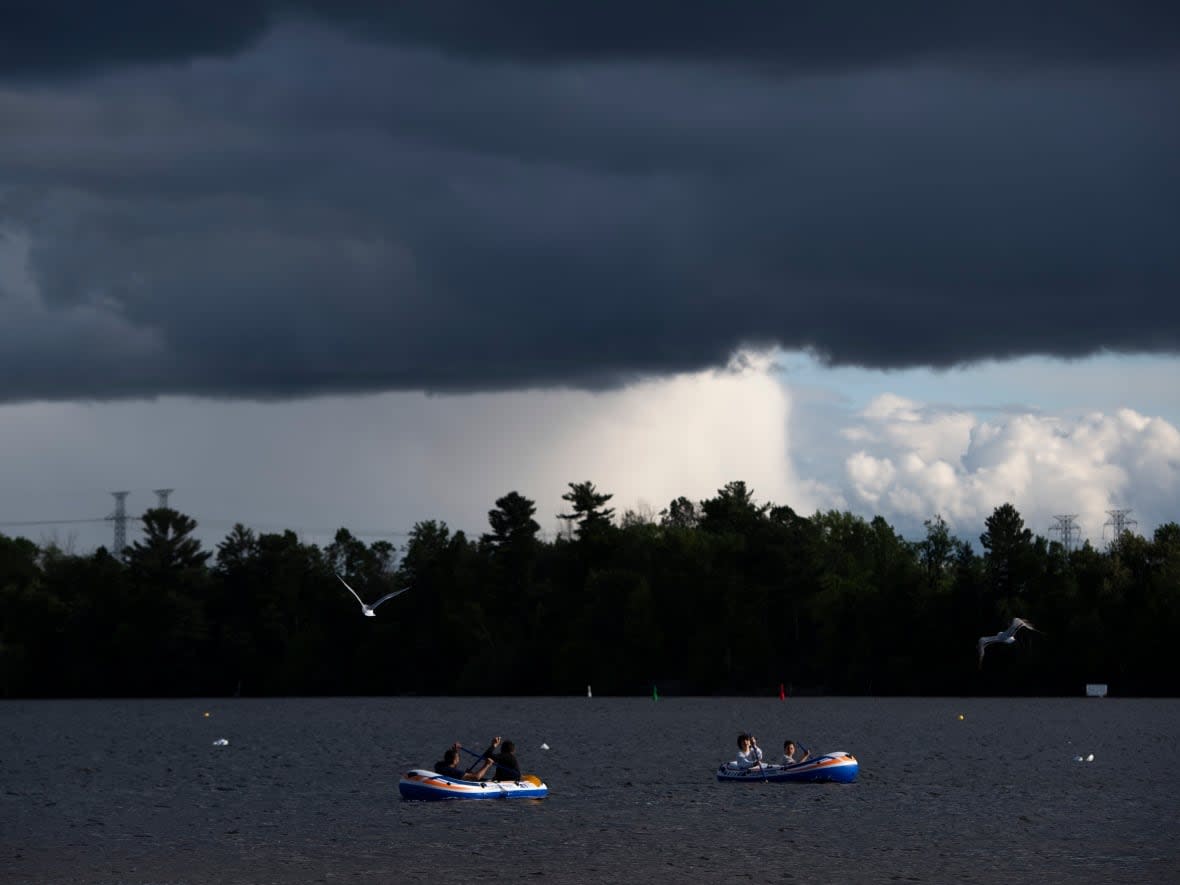
Severe thunderstorms moving through the Kingston area
Communities along the St. Lawrence River and Lake Ontario from Napanee to Mallorytown are under severe thunderstorm warnings Monday afternoon, as are the Maniwaki and Papineau-Lebelle regions of western Quebec. The Ottawa area is under a severe thunderstorm watch.
Environment Canada's warnings say a severe thunderstorm is in that area. Downpours of rain, wind gusts up to 90 km/h and hail are possible in this type of storm.
The watches for the Ottawa and Cornwall areas say conditions are favourable for the development of a similar storm this afternoon and early evening.
Ottawa's temperature is expected to fall from the 22 C reported at 1 p.m. to 15 C around sunset and 11 C overnight.
At 3:35 p.m., Environment Canada added severe thunderstorm warnings for the Maniwaki and Papineau-Labelle regions of western Quebec. According to the agency, meteorologists are monitoring a severe thunderstorm that can produce very strong gusts, heavy rain and hail from the size of a nickel to a ping pong ball.
Environment Canada issues severe thunderstorm warnings when meteorologists expect thunderstorms accompanied by large hail, damaging winds or torrential rain.
Extreme local weather in recent days has included daily heat records in Ottawa and a landspout tornado near Casselman, Ont.

