
Snowfall warning calls for 10-15 cm of snow in Ottawa
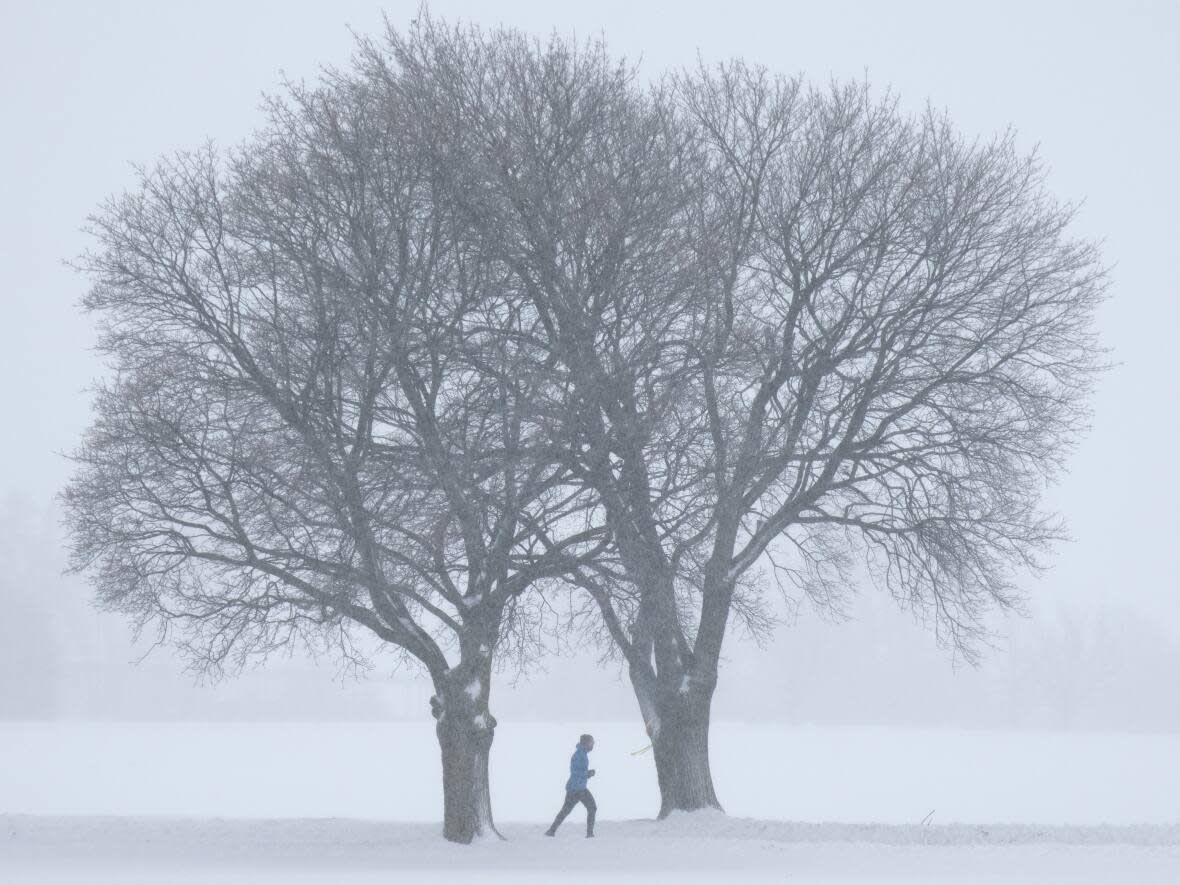
Starting Monday night, Ottawa is about to get 10 to 15 more centimetres of snow, continuing a snowier season than normal.
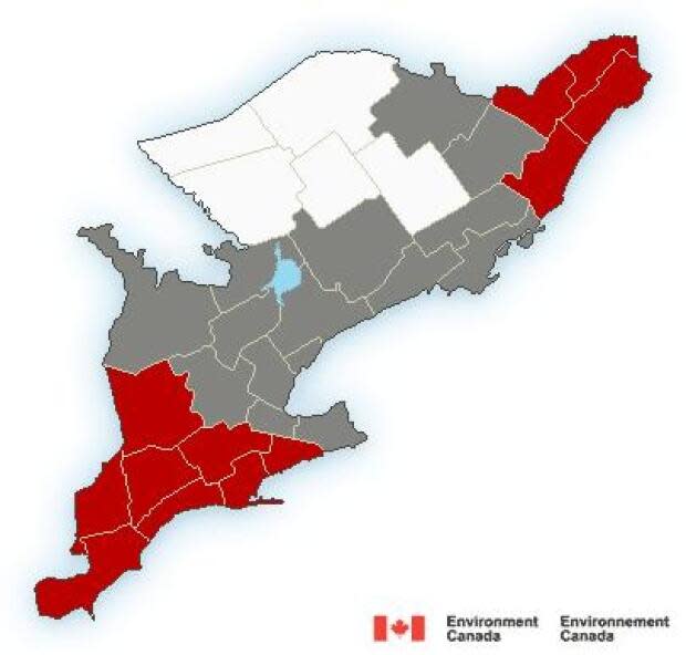
Environment Canada has snowfall warnings for Ottawa, Gatineau, Prescott-Russell and the Cornwall and Brockville areas.
Nearly 15 centimetres of snow could fall, sometimes as much as two to four centimetres in an hour, from early Tuesday morning until around noon.
There are winter weather travel advisories to the west of Ottawa.
Those forecasts expect close to 10 centimetres of snow, with southeasterly winds gusting up to 70 km/h around Kingston and Belleville.
There aren't any weather alerts in the rest of western Quebec nor the Bancroft or Deep River areas.
Eight weeks into 2023, Ottawa has had seven days with at least 10 centimetres of snow. That doesn't count three more in the final nine days of 2022.
Ottawa's international airport has recorded about 265 centimetres of snow since the first flakes in November. Its average winter is about 225 centimetres.
Daytime highs around 0 C are forecast in the capital for most of this week.

