
Snowstorm set to arrive at end of the workweek
UPDATE | Local snowall warnings have been issued.
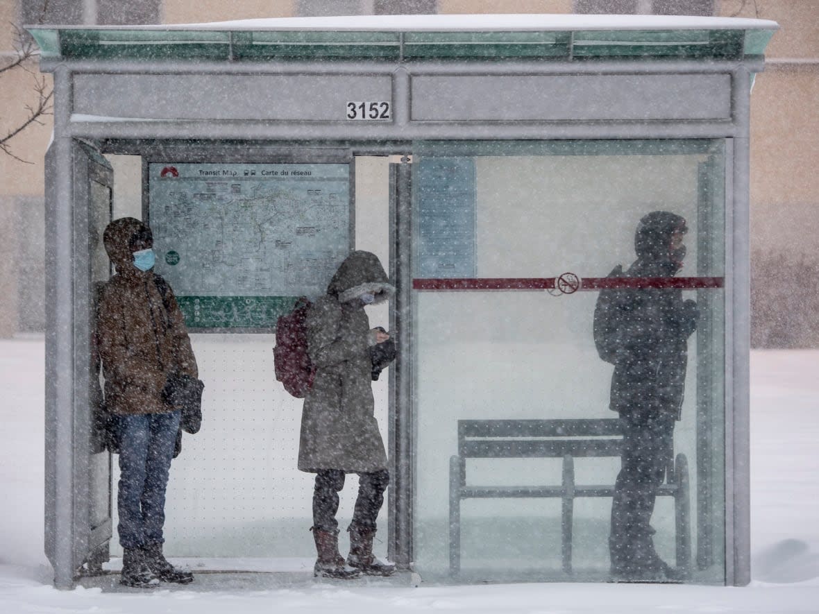
Environment Canada says a snowstorm in the forecast for Thursday and Friday should make people in Ottawa-Gatineau rethink any non-essential travel plans.
Except for the Pontiac, special weather statements suggest snow will cover all of eastern Ontario and western Quebec, from Belleville to Cornwall and Renfrew County to Maniwaki. No local watches or warnings have been issued so far.
The storm is expected to hit a large area the hardest, stretching from Ottawa-Gatineau to Kingston and Cornwall. The current estimation is 15 to 25 centimetres of snow from Thursday evening to Friday night, which will be heavy at times.
The white stuff is expected to start in Belleville and Prince Edward County with 10 to 15 centimetres starting Thursday afternoon. Places further from Lake Ontario could see a bit more snow, according to Environment Canada, and places near the lake may get some rain mixed in.
Those north of Gatineau are expected to see a Friday snowstorm with heavy, sticky snow.
Environment Canada recommends people reconsider travel plans because of the snow and its expected effects on roads and visibility.
"I'd recommend if you have the option to stay home, to work from home, do so. You don't want to have to commute on Friday because there will be snow on the ground at that point," said Environment Canada meteorologist Gerald Cheng.
Renfrew County has 10 to 15 centimetres of snow in its forecast for Thursday night and Friday.
Colorado lows are normal
Environment Canada meteorologist Steven Flisfeder told The Canadian Press Tuesday the low atmosphere pressure system — known as the Colorado low — typically forms east of the American Rockies before making its way northeast toward the Great Lakes.
"It's going to be touching anywhere from far southeastern Saskatchewan all the way to the Maritimes. As the system progresses eastward, southern Quebec will be affected before it finally makes its way toward New Brunswick and Nova Scotia," he said.
Despite how widespread the storm is, Flisfeder said it isn't atypical.
"It's totally normal for this time of year and will likely happen several more times throughout the winter," he said.
Ottawa has had about 25 centimetres of snow combined in November and December — nearly half of it on Sunday.
The capital's forecast doesn't call for the temperature to stray much from the freezing mark Thursday, Friday and Saturday. There's a chance of flurries Saturday and then cloudy skies expected for the rest of the weekend.

