
Soggy Tuesday to end a wet month, but sunshine and warmer temperatures ahead
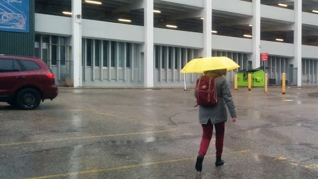
Tuesday will get off to a wet start, which may seem fitting to wrap up a damp April.
Geoff Coulson, a meteorologist with Environment and Climate Change Canada, says April was "wetter than normal" but with one day left in the month, it remains unclear whether it will break the top 10 list of wettest Aprils on record.
The long-term average recorded at the Region of Waterloo International Airport is 74.5 mm of rain for April. As of Monday, the airport had recorded 89.5 mm so far this month.
Still, the region is far from breaking the record for the wettest April, which was 145.3 mm set in 2017.
Although people may remember the cool and damp days, Coulson said it "might come as a surprise" to learn April was about one degree warmer than the long-term average.
Spring expected to be warmer than normal
Wednesday, and a new month, will bring a different weather pattern to the area. The average temperature for Waterloo region in May is 15 C but temperatures this week will top 20 C.
"We do see a return to temperatures warmer than normal," Coulson said of the rest of this week.
While days will fluctuate over the month, he added warmer-than-normal temperatures are also the long-range trend for May and June.
While a high of 22 C on Wednesday may seem really warm, it won't be record breaking. Coulson said the warmest May 1 on record was 35 C recorded in 1895.
This week's forecast:
Tuesday: Showers, which will end near noon, then cloudy. High 20 C.
Wednesday: Sunny with a high of 22 C.
Thursday: Sunny with a high of 21 C.
Friday: Sunny with a high of 20 C.

