
Southern B.C. sees snow at higher levels as incoming rainstorm meets Arctic cold
The first major snowfall of the season could blanket higher elevations of Vancouver Island with up to 10 centimetres of snow as an eastbound rainstorm meets a westbound blast of Arctic air over British Columbia's South Coast.
Environment Canada has posted special weather statements for inland, northern and eastern parts of Vancouver Island, warning that rain could fall as snow on the highest elevations of Highways 4, 19, 28 and the Malahat Summit of Highway 1 as the two systems brush.
No snow is expected at sea level, but the weather office warns that up to 70 millimetres of rain, at times mixed with snow, could drench the area from Nanaimo to Duncan by early Wednesday, while Arctic winds gusting to 90 km/h will sweep down Howe Sound.
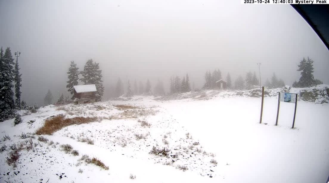
At noon Tuesday, snow cams on Vancouver's North Shore ski mountains showed steady snowfall and a few centimetres of accumulation on Cypress, Grouse and Seymour.
The same frigid system pushing cold air to the coast has also hit the Interior, and Environment Canada forecasts 5-15 centimetres of snow on southern Interior highway passes by late Tuesday.
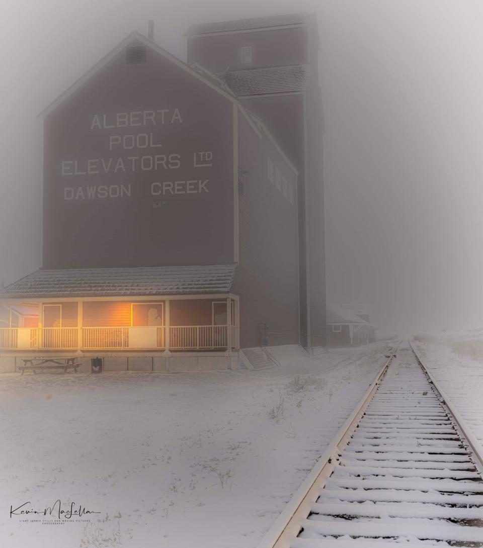
Snowfall dusted the city of Dawson Creek, B.C., on Sunday, making for treacherous driving conditions. (Kevin MacLellan/Light Junkie Stills Photography)
Wintry conditions are also in effect across north-central B.C., as wind chill values in Prince George made conditions feel as cold as –20 C to start the day.
Road warnings are in place for the Peace region, where snow fell Sunday and freezing conditions have brought winter driving conditions to highways.
Meanwhile, the weather office says the Central Coast community of Bella Bella set a record daily low temperature of –1.1 C on Tuesday before climbing above freezing later.
It's a big swing from the unseasonably warm weather that hit Bella Bella to start October when the area experienced three consecutive weeks of temperatures in the mid-to-high teens and three days above 20 C.

