
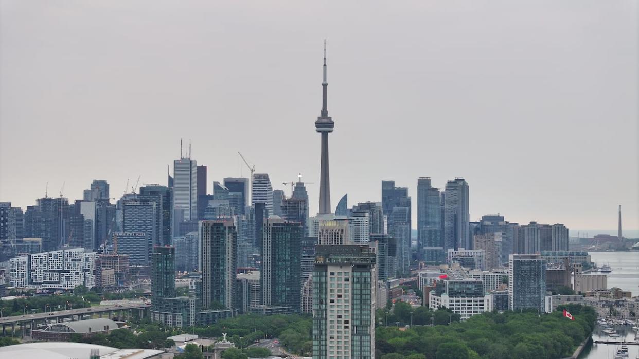
Toronto remains under rainfall warning due to Hurricane Beryl
A rainfall warning remained in place for Toronto on Tuesday night with the potential for heavy rain due to the remnants of Hurricane Beryl.
Environment Canada said rainfall, with "embedded torrential downpours," is expected to start overnight Tuesday or Wednesday morning and will last until Thursday.
The federal weather agency said it predicts rainfall totals from 40 to 60 millimetres, with higher amounts possible in some areas. It said torrential downpours could produce rainfall rates of 20 to 40 millimetres per hour at times.
There is some uncertainty in tracking this type of weather system, but in the past, these systems have "given very high rainfall rates and torrential downpours," it said.
Some areas across the region could receive more than 60 millimetres of rain, the agency said, noting that heavy downpours can cause flash floods and water pooling on roads, along with localized flooding in low-lying areas.
Hurricane Beryl made landfall first in Jamaica, along with Grenada. It then went to Mexico as a Category 2 hurricane last week, before weakening as a tropical storm as it moved over to Texas, where it's caused tornadoes and flooding.

