Why this week’s heat wave could be next summer’s normal

The extreme heat slamming the eastern U.S. this week may be a sign of things to come as monthly temperature records continue to give way.
A broad swath of the Midwest and eastern U.S. are currently under a heat dome, caused by a high-pressure system in the Earth’s upper atmosphere that compresses the air beneath it, making it expand into a dome shape.
Research published in March in the journal Science Advances found that since 1979, as climate change has intensified, heat waves have gotten hotter and more commonplace, and the physical area covered by heat domes has expanded as well. They’ve also slowed down by about 20 percent, leaving the people in their paths to contend with their effects longer.
“Every summer we get heat waves, and heat waves are getting more extreme and they’re getting more frequent and they’re lasting longer,” said Jonathan Overpeck, the Samuel A. Graham dean of the School for Environment and Sustainability at the University of Michigan.
In this specific heatwave, the system of warmth is moving north and east, but it’s part of a broader, more ominous pattern in which heat waves start from a warmer background, said Richard Rood, professor emeritus of climate and space science and engineering at the University of Michigan.
“The oceans have been extraordinarily warm all year, the Atlantic and Gulf of Mexico in particular,” he said. “So when summer comes and you start seeing heat waves, you’re starting from a higher temperature background.”
As heat accumulates, Rood told The Hill, one consequence is higher temperatures earlier in the year, such as this week’s heat, which began before the official start of the summer Thursday but in earlier years might be more typical of July or August.
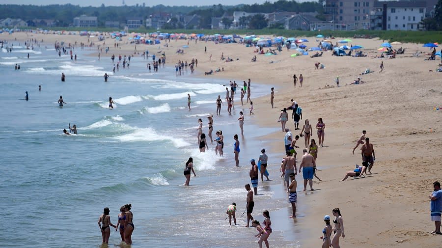
The extreme heat patterns began in the Midwest earlier this week, and are expected to extend into the Northeast over the rest of the week. More than 76 million people were under some form of heat advisory Tuesday morning in the U.S., and about twice that number faced temperatures of more than 90 degrees. The National Weather Service projects record-breaking heat in cities like Detroit and Philadelphia as well as parts of New England this week.
Much like the heat waves of previous years in places like Europe and the Pacific Northwest, the heat is hitting regions that have little experience with such extremes, like northern New England. This means in many cases individuals are unprepared, as is broader community infrastructure of the kind that exists in historically hotter regions.
Both personal air conditioning and resources like cooling centers are “still inadequate in a lot of areas in the U.S. where access to air conditioning hasn’t been historically needed,” said Amy Bailey, director of climate resilience and sustainability at the Center for Climate and Energy Solutions.
“Our infrastructure, our institutions and daily practices aren’t well-suited for these long stretches of extreme heat, and the longer it takes us to catch up the more lives are on the line,” Bailey added.
It also demonstrates “the criticality of having a grid that is resistant to extreme weather,” she added.
Overpeck said much of the extreme heat is attributable to the impact of climate change, but El Niño has also been a factor, and “we expect — hope might be a better word — that temperatures might start to ameliorate.”
The most recent El Niño, a climate phenomenon that causes unusually warm surface temperatures in the Pacific Ocean, began last June, which was also the warmest June on record.
The globe saw its overall hottest summer on record the same year and recently concluded a 12-month period in which every month set a temperature record.
“We’re really looking at the next few months to tell us whether something dramatic is surprising us in the global temperatures,” Overpeck said. “If it starts cooling off, [and] it hasn’t started to do that yet, we can ascribe [these] more unusual temperatures to the El Niño. If it keeps rocketing up, we’ll have to think about why climate change [is] accelerating.”
He noted that surface warming of oceans, where the majority of the heat trapped by greenhouse gases goes, has also accelerated lately.
While local authorities have urged people in affected areas to stay inside where possible, that is not an option for those who work outdoors or the homeless population of major metropolitan areas, Overpeck noted.
The temperatures of this week are likely to subside somewhat while remaining high throughout the summer, but ultimately they may be a vision of what summers look like in the longer term, Rood said. This week is almost certainly not a “one-off event,” he added. “We are probably going to see a series of events this summer.”
“I wouldn’t call it a new normal — I would call it perhaps a vision of 10, 20, 30 years,” he said. If the trend continues, he added, the extremes of this week won’t seem extraordinary years from now.
“You’re getting a glimpse into the future, warmer world,” he said.
Copyright 2024 Nexstar Media, Inc. All rights reserved. This material may not be published, broadcast, rewritten, or redistributed.
For the latest news, weather, sports, and streaming video, head to The Hill.


