
Alaska's Good Friday earthquake is still Earth's second most powerful ever

This Day In Weather History is a daily podcast by Chris Mei from The Weather Network, featuring stories about people, communities and events and how weather impacted them.
--
On Friday, March 27, 1964, at 5:36 p.m. local time, a magnitude 9.2 megathrust earthquake shook Alaska for four minutes and 38 seconds. It was Good Friday. It is still the most powerful earthquake ever to be recorded in North America. It's the second most powerful earthquake ever recorded in Earth's history, beat out by the 1960 event in Valdivia, Chile, which reached a 9.4 to 9.6 magnitude.

The Great Alaskan earthquake (or Good Friday earthquake), as it's called, collapsed structures, caused tsunamis, and killed about 131 people.
On that Friday, the Pacific and North American plates ruptured, releasing around 500 years of stress buildup. The epicentre was 20 km north of Prince William Sound.

Anchorage International Airport, Anchorage, Alaska, 1964. Damage From Seismic Vibration: Damage to Buildings. Courtesy of USGS
Anchorage's infrastructure was not built to sustain earthquakes and therefore a lot of the area was destroyed, including houses, buildings, sidewalks, roads, water and sewer lines and electrical systems.

The largest landslide in Anchorage occurred along Knik Arm between Point Woronzof and Fish Creek, causing substantial damage to numerous homes in the Turnagain-By-The-Sea subdivision. Courtesy of Wikipedia
Click here to subscribe to This Day in Weather History
The earthquake triggered about 21 tsunamis; one tectonic wave and about 20 smaller ones. The smaller tsunamis were produced by landslides (both underwater and on land) and caused most of the tsunami damage. The waves from the tsunamis made it to 20 countries including Peru, New Zealand and Papua New Guinea. The highest wave was in Shoup Bay, Alaska, measuring as high as 67 metres.
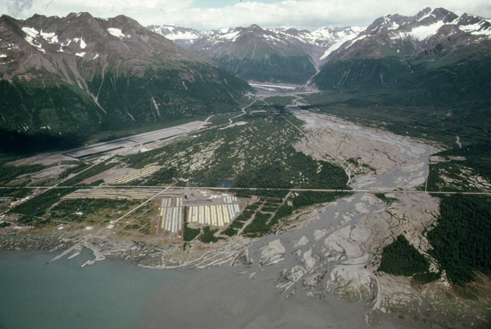
The Valdez townsite was abandoned and relocated following the 1964 earthquake and was used as a pipe yard for the construction of the Trans-Alaska Pipeline System. Courtesy of Flickr/Wikipedia/CC BY 2.0
A 1.4-metre tsunami wave reached Prince Rupert, B.C., around three hours after the earthquake. The wave travelled to Tofino and made its way through a fjord to hit Port Alberni twice. The wave washed away 55 homes and damaged 375. Other areas in B.C. were impacted, resulting in around C$10 million ($81 million in 2018) worth of damage.

J.C. Penney Department Store at Fifth Avenue and D Street, Anchorage District, Cook Inlet Region, Alaska, 1964. Courtesy of USGS
In the weeks to follow, there were hundreds of aftershocks. The same day, there were 11 aftershocks with a magnitude greater than 6.0. Thousands of aftershocks were felt in the region for more than a year.
To learn more about the Great Alaskan earthquake, listen to today's episode of "This Day In Weather History."
Subscribe to 'This Day in Weather History': Apple Podcasts | Amazon Alexa | Google Assistant | Spotify | Google Podcasts | iHeartRadio | Overcast'
Thumbnail: Damage to Fourth Avenue. Courtesy of Wikipedia

