
April snowstorm dumps 20-25 cm of snow in southeast Manitoba, more still to come
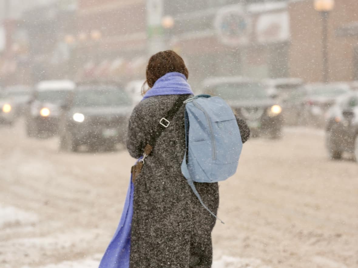
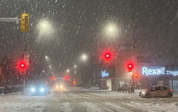
Streets and highways — along with pretty much everything else outdoors in southern Manitoba — are layered in snow but the heaviest part of it may be over, says Environment Canada.
"We have seen what I would call the heaviest push of snow come through in the morning hours," Environment Canada meteorologist Justin Shelley said early Wednesday afternoon.
But as the Colorado low that brought the snow moves east, "we're going to get more snow wrapping around the system, and we're starting to see that now [in some places]," said Shelley.
"Winnipeg had a bit of a reprieve from the heaviest snow, but we're starting to see a heavier band move in."
The weather system moved into the province overnight and spread across nearly the entire southern region, from the Manitoba escarpment in the west to well past the Ontario border in the east.
Communities closer to the international border saw the start of the storm Tuesday evening, but it was only a tease in Winnipeg, where snowfall didn't begin in earnest until closer to 11 p.m., Environment Canada meteorologist Rose Carlsen said earlier Wednesday morning.
"We did get an early band around 5 p.m. [in the city], but that wasn't really the start of the big show itself," she said.
By late morning on Wednesday, the system had extended up into the Interlake region as it swelled and rotated.
The original storm warning from Environment Canada called for anywhere from five to 25 centimetres of snow, with the highest amounts in the southeast corner, before the system moves out Thursday.
The Red River Valley, including Winnipeg, was expected to get 10-15 centimetres, and western Manitoba was looking at the lower amounts.
But some of those totals have already been reached or surpassed.
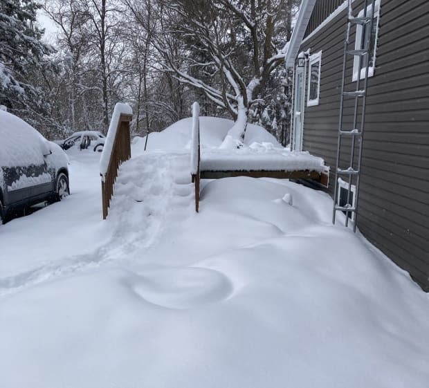
As of noon, 10-15 centimetres of snow had fallen in Winnipeg, while areas south of the city had significantly more, including 20 centimetres around Steinbach and 20-25 centimetres around Sprague in the southeast.
John Neufeld, who owns an automotive repair business in the small community of Gardenton, about 10 kilometres north of the U.S. border south of Winnipeg, estimated that area already had nearly 30 centimetres by 10 a.m. — with snow still coming down.
"I walked out to go to work here … and my boots were just about covered in snow, and that's 12 inches or a little bit better," he said.
Neufeld wasn't expecting to see many customers, or really anyone out and about on Wednesday.
"It'll be quiet in the shop here, so that'll let me catch up on my work, I think."
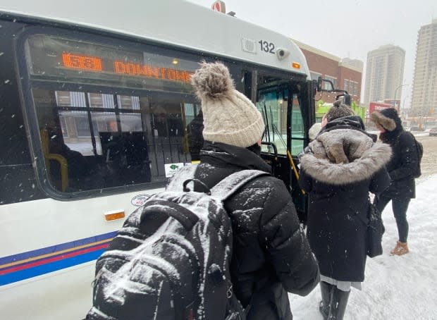
The conditions prompted many school divisions to cancel classes for the day, with the following cancellations extending into Thursday, as well:
All schools are closed and no buses are running in Prairie Spirit School Division.
Bus service is cancelled in Prairie Rose School Division, although community schools will be open. Hutterian colony school sites will be closed.
All schools in Southwest Horizon School Division will be closed. All classes and buses are cancelled.
Environment Canada's Shelley says another 5-10 centimetres can be expected in general across the south-central and southeastern areas of the province "before things really start to taper off later this [Wednesday] evening."
"However we will see scattered flurries through the overnight hours," he added. "The overnight accumulations shouldn't amount to too much, maybe two to four centimetres."
That means anywhere from seven to 14 more centimetres before all is said and done with this system. By Thursday morning it will be well into northern Ontario, Shelley said.
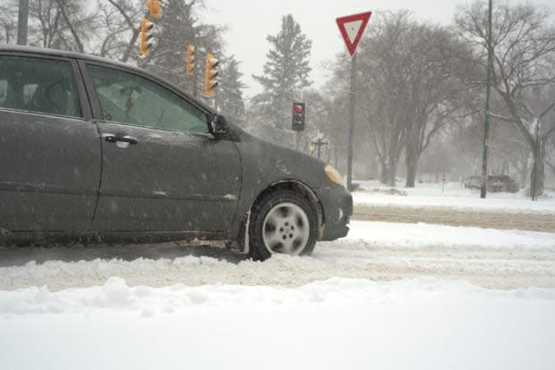
The wind, which was calm through most of the morning, had picked up by Wednesday afternoon, blowing around 43 kilometres per hour, with gusts of 53 km/h. Environment Canada's alert says those gusts could reach 70 km/h.
That's going to cause significant reductions in visibility for most of southern Manitoba.
Ken Allen, communications co-ordinator for the City of Winnipeg's public works department, said road-clearing crews were already out plowing and salting Wednesday morning.
About 200 pieces of equipment are working to clear main routes and bus routes and the collector streets that feed into those primary streets.
"We hit those Priority 1 streets and Priority 2 streets right away. They're the ones that carry 80 per cent of the traffic travelling at faster speeds," Allen said. "The bridges, underpasses are also a priority."
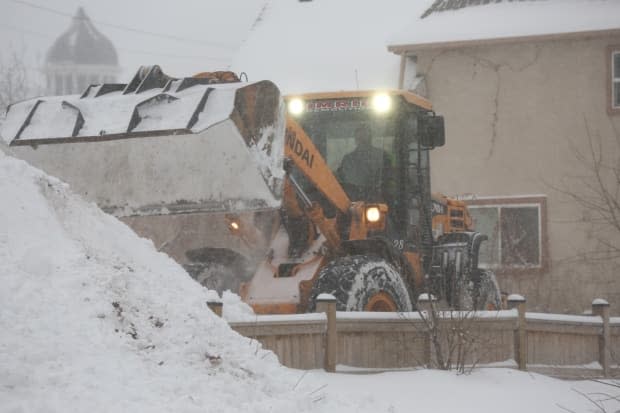
And if the snow keeps coming, those routes will need another pass.
"So we'll be plowing today and salting until we reach that surface level," Allen said.
Crews also hope to get to sidewalks and active transportation paths later in the day.
Residential streets and alleys will be tackled only if trouble spots are noted by city inspection crews.
"There's some wind out there, so there's going to be blown-in areas," Allen said.
Meanwhile, the province has closed some highways due to poor driving conditions caused by snow-covered roads and blowing snow. As of 4 p.m., these road remained closed, according to Manitoba's road conditions website:
Highway 3, from Carman to the Highway 14 junction.
Highway 13, from Carman to Elm Creek.
Highway 14, from Highway 3 to Highway 75.
Highway 23, from Highway 34 to Highway 336.
Highway 34, from Holland to the U.S. border.
Highway 428, from Highway 23 to Highway 32.
Highway 432, from Highway 201 to Highway 23.
Highway 16, which was closed from Minnedosa to Highway 50 earlier Wednesday, has been reopened.

