Arctic temperatures expected to linger a few days in Ky. before another round of snow
Bitterly cold temperatures from the recent cold front, including wind chills below zero, are expected to linger in Kentucky for a few days before another round of snow this week, according to the National Weather Service.
The low temperatures for Tuesday and Wednesday are expected to be in the single digits and the wind chill temperatures will be at or below zero degrees Fahrenheit for the mornings and Tuesday evening, according to the NWS. Skin exposure at such cold temperatures can cause frostbite in as little as 30 minutes.
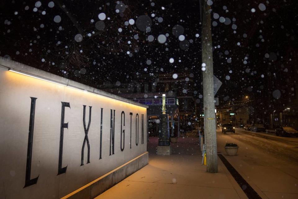
Lexington’s wind chill temperature will be as low -9 degrees Wednesday morning, according to the NWS. The NWS said the snow that’s already on the ground will make the temperatures chillier.
The frigid temperatures continue today and tomorrow. Expect another morning of below 0° wind chills for tomorrow. The cold wind chills could cause frostbite on exposed skin in as little as 30 minutes. pic.twitter.com/RreyxS6F3M
— NWS Louisville (@NWSLouisville) January 16, 2024
Temperatures are expected to go above freezing Thursday, but that will be followed by another snow storm and arctic front, according to the NWS. Snow probabilities begin Thursday afternoon heading into Friday and areas east of Interstate 65 have the highest chances of seeing impacts from the storm.
Lexington has a 60 to 70% chance of seeing impacts from the storm, according to the NWS.
Another shot of snow is possible for Thursday afternoon and into Friday. Areas east of I-65 currently have the best chance of seeing minor impacts from snowfall. The forecast can change, so stay up to date with the latest forecast. pic.twitter.com/v6OXKSlF4j
— NWS Louisville (@NWSLouisville) January 16, 2024
The arctic front is expected to hit Kentucky with the snow storm, pushing temperatures below freezing Thursday evening or Friday morning. The NWS said the temperatures will be in the single digits Saturday and Sunday morning, with wind chill values below zero degrees Fahrenheit Saturday morning.
WKYT meteorologist Chris Bailey believes central and Eastern Kentucky could receive several inches of snow in the upcoming storm.
Cold temperatures continue for today and Wed. Thu may briefly get above freezing, but another system is expected to bring snow to the region Thu afternoon and into Fri. A second arctic front will bring another blast of cold for the weekend. pic.twitter.com/8gG80BNQhz
— NWS Louisville (@NWSLouisville) January 16, 2024
Parts of southeastern Kentucky remain in a winter storm warning Tuesday morning. The NWS said light snow will fall through the morning, creating slick spots on untreated roads.
No additional snow accumulation is expected with the advisory, which is expected to last until 10 a.m. Tuesday. The NWS said people required to be on the roads should carry an extra flashlight, food and water in their vehicle in case of an emergency.
The Kentucky Transportation Cabinet urged residents Tuesday to be aware of potential health hazards in the cold. Skin can freeze in roughly one minute when the air temperature is -22 degrees Fahrenheit and the wind speed is roughly 10 miles per hour, according to the Kentucky Transportation Cabinet. Being outside in extreme cold can cause cold stress, which is when the body is unable to warm itself. Tips to avoid cold stress include wearing proper clothing and multiple layers, working during the warmest parts of the day, staying dry while working, avoiding working alone and taking breaks in warm areas.
City of Lexington is on a 2-hour delay
The City of Lexington is operating on a two-hour delay due to weather conditions, the city announced Tuesday morning.
Motorists on the roads in Lexington are encouraged to drive safely and slowly. The city said crews treated and monitored roads overnight for refreezing and will continue to do so Tuesday.
Roadway Conditions:
- Use added caution due to possibly slick roadway conditions.
- Slow down, increase following distances, and allow for added commute time.
- To view interstate highway conditions, please visit https://t.co/LZciCO9b1U. Under "Layers", select "Cameras".— lexwrecks (@lexwrecks) January 16, 2024
The city also warned people to wear extra layers in preparation for the bitterly cold temperatures.
“The area is expected to face a wind chill of minus 10 this morning,” the city said in a press release. “Wear multiple layers when going outside and limit exposed skin by wearing a hat, gloves and face coverings.”
The University of Kentucky is also operating on a two-hour delay. The university said in-person classes and activities will begin at 10 a.m. and any classes and activities beforehand have been canceled.
More information about the university’s operations during winter weather can be found here.
URGENT: UK on 2-hour delay. Plan B/designated employees on regular schedule. Hospitals/clinics open. https://t.co/Nc5MSKUsNT
— University of Kentucky (@universityofky) January 16, 2024
Fayette County Public Schools moved to online learning Tuesday due to the weather.