 Science and Weather
Late-season storm bringing heavy snow to Ontario, Quebec and the Maritimes

Although it may seem like spring has finally started to make a comeback over the past few days, don't count winter out just yet.
Southern Ontario, southern Quebec and the Maritimes are on a roller-coaster ride of winter weather conditions this week. The past few days of mild weather have just been the slow climb up that first big hill, with today — which may be the warmest day many places have seen so far this year — being the summit. Enjoy the view while you have it, because the first drop is coming up fast.
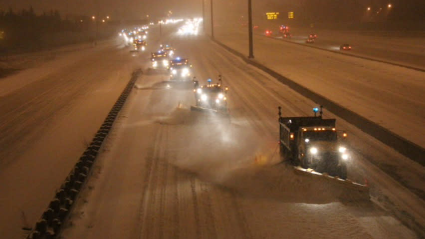
Commuters in southwestern and central Ontario can look forward to dealing with heavy snow and blowing snow on their way in to work or school tomorrow morning, as a late-season winter storm begins its sweep across the eastern half of the country. Those in eastern Ontario and southern Quebec will likely have a normal commute to start the day, as the storm isn't expected to reach there until late morning. However, this snow is expected to last all day tomorrow, right from southwestern Ontario through southern Quebec, so you're going to have to be very lucky to avoid hassles on the drive home tomorrow night. Along with all the snow and wind, temperatures are plunging throughout the day, starting off around freezing, reaching around -10 C in the afternoon and dipping down to around -15 C overnight. Wind chills could go as low as -20 or -30.
The Weather Network is reporting potential snowfall amounts up to 25 centimetres along the shores of Lake Erie, along the Niagara Peninsula, east of Lake Ontario and through regions south of the St. Lawrence River. Up to 15 centimetres are expected by the end of the day in a band from Sarnia, through the Greater Toronto Area, and east to Montreal. Up to 10 centimetres may fall just to the north of that band, from Goderich to Barrie to Ottawa. Environment Canada has winter storm warnings issued for the areas expected to see the most snow, and special weather statements have been issued for everywhere else.
Even as this storm is still dumping its last couple of centimetres of snow on Ontario and Quebec, it's expected to be pushing into Atlantic Canada. Snowfall, winter storm and blizzard warnings are in effect through New Brunswick, calling for up to 25 centimetres of snow through parts of the province. Most of the snow is expected through western and northern parts of the province, with a mix of wintry weather through central and eastern regions and rain along the Bay of Fundy. The winter storm warnings extend into western PEI and Nova Scotia's Northumberland Shore as well, and rainfall warnings have been issued from Yarmouth to the Halifax area. A special weather statement for Newfoundland and Labrador is advising of a mix of snow, rain and wind for the province on Thursday.
[ More Geekquinox: Four new ozone-depleting gases found accumulating in the atmosphere ]
After the storm passes through, it's looking like another chilly winter day for Thursday through Ontario and Quebec, and on Friday in New Brunswick, Nova Scotia and PEI. The roller coaster looks like it's taking us up another 'hill' again for the weekend, though, as a patch of warmer weather sweeps through starting on Friday and then the cold coming back starting on Sunday and into the new work-week.
So fasten your seatbelts, it's going to be a bumpy ride.
Geek out with the latest in science and weather.
Follow @ygeekquinox on Twitter!


