
Blowing snow and a bitter chill sweeping across the Prairies
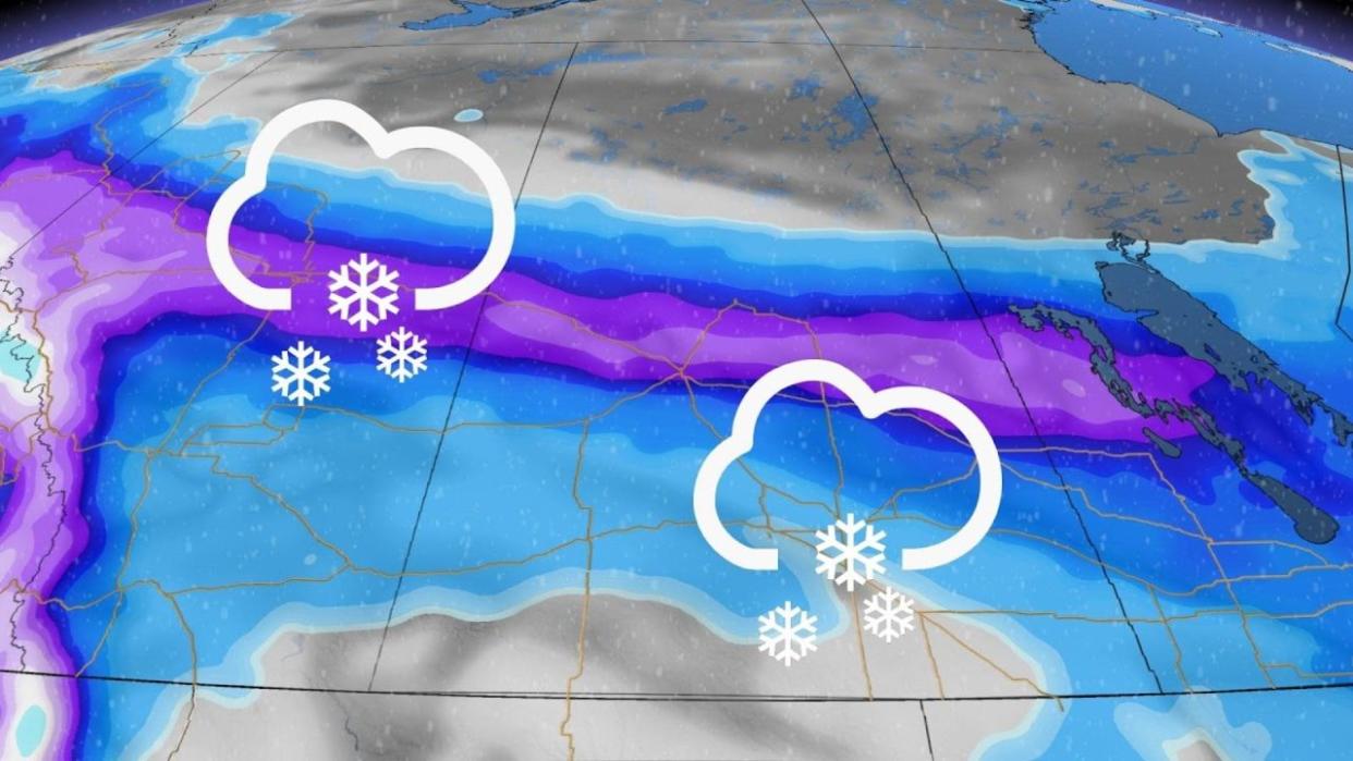
A wintry chill sweeping across the Prairies will bring some towns their largest snowfall of the season. Bitterly cold temperatures pouring across the region into this week will bring dangerously cold wind chills at times.
Plan ahead for slow travel from Edmonton to Winnipeg as this slug of snow moves across the region through Monday.
DON’T MISS: Earth just experienced its hottest 12 months in recorded history
We’ve seen an exceptionally warm winter across the Prairies this season despite the intense cold some communities endured in January.
The relative lack of classic winter weather will make this upcoming burst of snow and frigid temperatures feel that much worse.

A low-pressure system that developed in Alberta on Sunday will track east into Saskatchewan and Manitoba heading into Monday.
MUST SEE: What is a sluff? These common slides spell danger in the mountains
Widespread snowfall warnings and winter storm warnings are in effect ahead of this system’s impacts through Monday morning.
Periods of steady, blowing snow are likely along the Yellowhead Highway from Edmonton to Saskatoon through the overnight hours Sunday, and the bulk of the snow will move into Manitoba by Monday morning as our low-pressure system tracks east.

Snowfall totals of 10-20 cm will follow the track of the low down the Yellowhead Highway, with folks around Edmonton, Saskatoon, and Prince Albert having to shovel away a modest blanket of snow by Monday morning.
Lower totals are likely north and south of the system’s track, with 5-10 cm of snow on tap for Winnipeg, and less than 5 cm for Regina.

Temperatures will plunge as frigid air filters in behind this departing system.
Daytime highs will only reach the minus 20s across much of Alberta and Saskatchewan by Tuesday, with a rapid warmup back above the freezing mark arriving by Thursday.
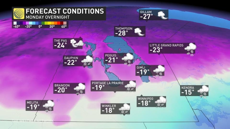
Manitoba will see a dramatic temperature swing during the day Monday, with communities near the international border seeing a 25+ degree temperature swing between Monday afternoon’s high and Monday night’s low.
Much as we’ll see on the western Prairies, Winnipeg’s high of -13°C on Tuesday will swing back to a relatively balmy 3°C by Thursday.
Check back for all the latest on your forecast across the Prairies.

