
Extra cold weather expected to hit B.C. Friday night, according to weather agency
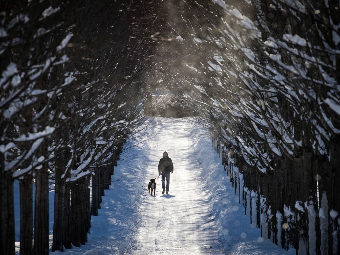
An Arctic air mass is forecast to return to B.C. this weekend, bringing plunging temperatures to parts of the province.
Environment Canada issued special weather statements for several parts of the province on Wednesday, warning residents of colder-than-average temperatures starting Friday night.
According to CBC meteorologist Johanna Wagstaffe, the air mass will begin to spread into the province on Saturday when temperatures will take a nosedive, dropping more than 10 C in one night.
Environment Canada predicts that temperatures could be up to 20 C colder than normal for this time of year in the central and southern Interior of B.C., and up to 10 C colder for the South Coast.
Gusting winds will make the air feel even colder, the weather agency says.
Wagstaffe says the cold will stick around through much of next week, but that it's uncertain when things will start to warm up again.
Environment Canada says snow is possible for the Interior on Saturday.
The world is still in La Niña — a situation where equatorial Pacific waters are colder than normal — which usually means colder and snowier weather for B.C.
In La Niña years, the jet stream over North America is often shifted further north, which causes changes in temperatures, storm tracks and precipitation, especially during winter.
La Niña is expected to stick around until late winter or early spring.

