
Winter storm could bring 15 cm of snow to Windsor-Essex, Chatham-Kent
A powerful winter storm is rolling across southern Ontario, leaving some without power.
According to Enwin Utilities, there are small pockets of customers without power as of 7:15 p.m.
Earlier on Friday evening, the outages were spread across the city, stretching from downtown to the airport, with thousands affected.
Hydro One's website is also showing small outages throughout Essex County.
CBC viewers in Windsor tuned to Cogeco cable are currently experiencing a service disruption due a hydro outage, the company said.
CBC TV's over-the-air service has not been impacted.
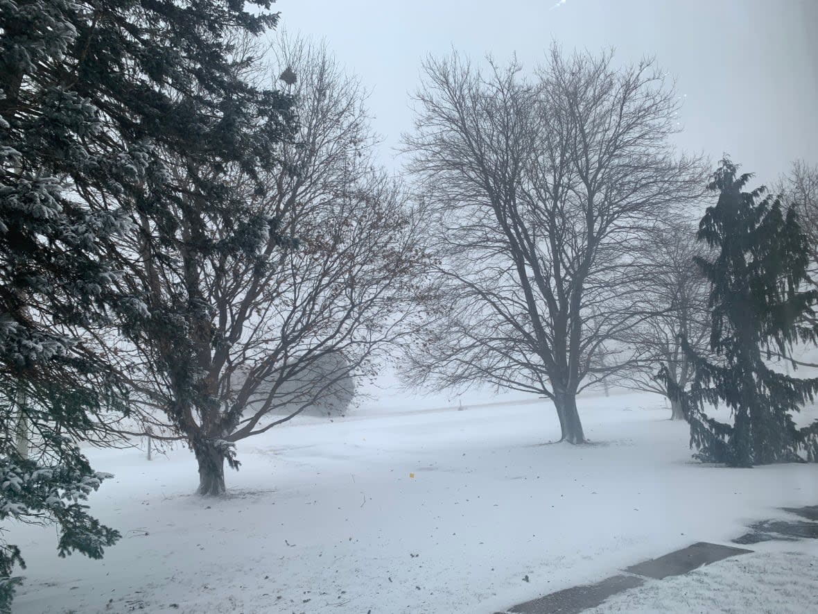
Environment Canada has issued has winter storm warning for Windsor-Essex and Chatham-Kent.
Snow began this afternoon and quickly become heavy. Drivers can expect "quickly changing and deteriorating travel conditions" as strong east winds combine with the heavy snow, the agency says.
As of 7 p.m., Highway 401 westbound is closed near Ridgetown in Chatham-Kent due to a collision.
All flights departing and arriving from Windsor International Airport were cancelled until Saturday afternoon.
The snow may be mixed with ice pellets at times, or even change over to rain, particularly in areas closer to Lake Erie. Areas that get rain may see significant amounts, but any rain should change back to snow later this evening, Environment Canada advises.
Temperatures in some areas, especially near Lake Erie, may stay above zero during the snowfall, which will limit accumulation.
The City of Windsor said its snow removal crews are preparing for the weather.
It is asking drivers to "please drive slowly, give extra room for stopping and drive according to the conditions, as they can change or worsen quickly and unpredictably." The city is reminding drivers to check their tires and brakes before hitting the road and suggests carrying an emergency kit.
The city is asking drivers to give themselves plenty of time to reach their destinations, as delays are expected.
As the snow started Friday afternoon, CBC Windsor rode along with plow driver Derek Jupp as he laid down some salt.
He says that drivers should maintain a safe distance from plows in operation.
"Just be cautious of the snow plow and the operator," said Jupp, a maintenance operator who has been with the city for more than 30 years. "Show them a little courtesy. They're out there to help the public and keep people safe."
The Essex Region Conservation Authority has announced a watershed conditions statement and a shoreline conditions statement.
The conservation authority said "the region has not fully recovered from the two previous rainfall events in late February," and the wet grounds may cause runoff and flooding.
The conservation authority said that while water levels are low in the Lake St. Clair and Lake Erie, high winds may create large waves. They are asking residents to be careful near the shore.
Sarnia-Lambton could see 20 cm of snow
Meanwhile, Sarnia-Lambton is under a winter storm warning and could see up to four centimetres of snow falling an hour this afternoon, into Saturday morning.
Sarnia-Lambton could get up to 20 centimetres of "rapidly accumulating snow."
The weather agency says drivers should be aware of possible whiteout conditions as winds of up to 70 kilometres an hour will blow the snow and lower visibility.
School buses in Zones 1 to 4 in Sarnia-Lambton are cancelled today. Buses are running in Chatham-Kent and Windsor-Essex.

