California blizzard shuts down I-80 over Sierra — Tahoe hunkers down amid feet of snow
Updated 10 a.m. Sunday with new snow totals, conditions at ski resorts.
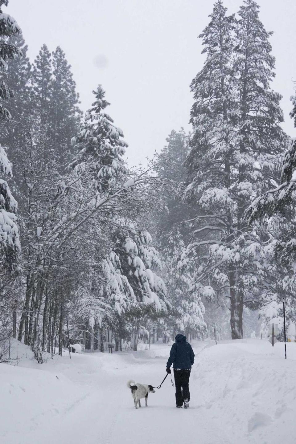
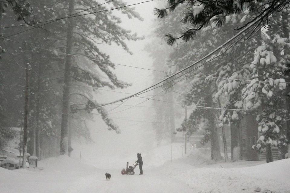
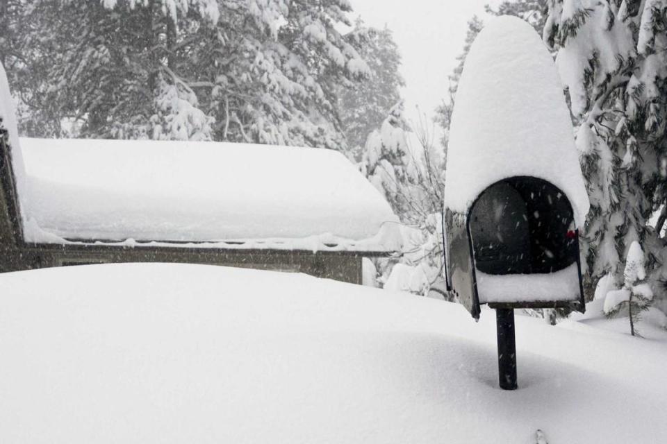
A powerful blizzard that has already dumped 3 feet or more of snow across the Sierra Nevada range created life-threatening conditions on a major California highway artery, forced closures and delays at Tahoe ski resorts and plunged thousands of residents east of Sacramento into the dark.
And it’s not letting up.
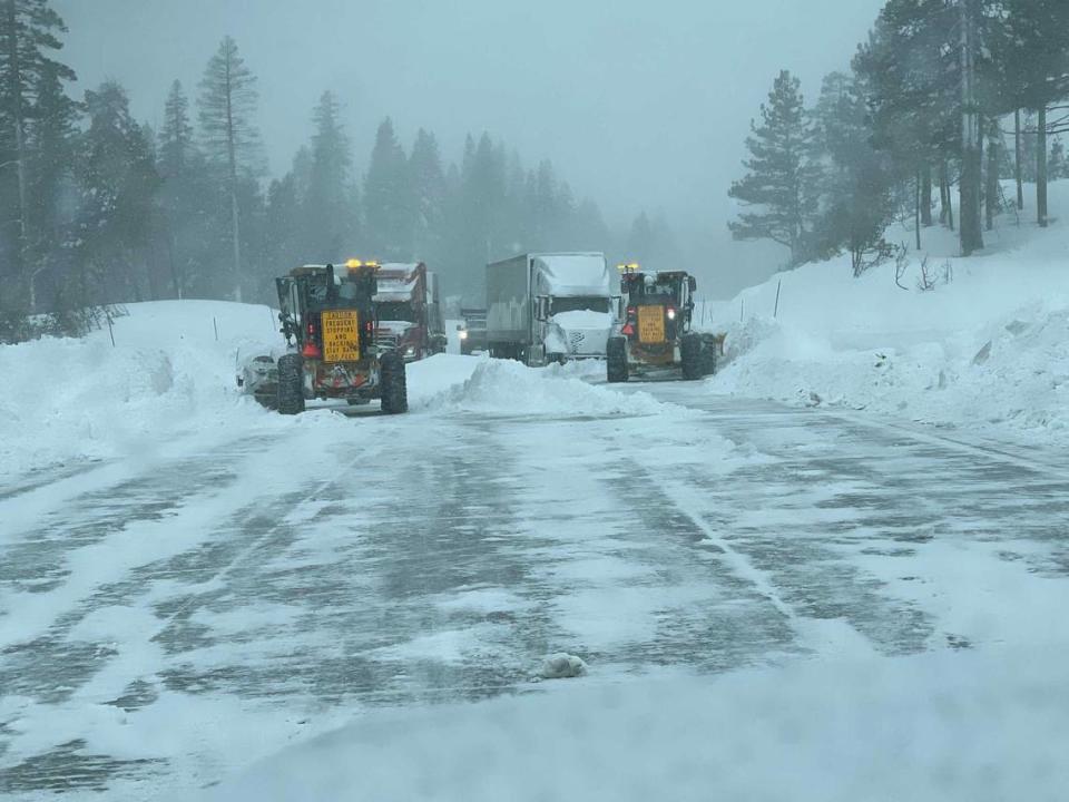
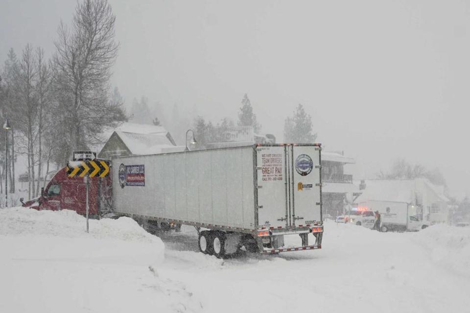
The fierce winter storm brought treacherous spinout conditions to Interstate 80 over Donner Pass, the region’s major east-west roadway, beginning Friday night, stranding vehicles and leaving authorities with no choice but to close a 100-mile stretch of the freeway between Sacramento and Reno.
I-80 as of Sunday morning was closed in both directions from Colfax to the Nevada state line, said Caltrans and the California Highway Patrol, as both agencies worked Saturday to retrieve cars and tractor-trailers left stranded when conditions quickly deteriorated.
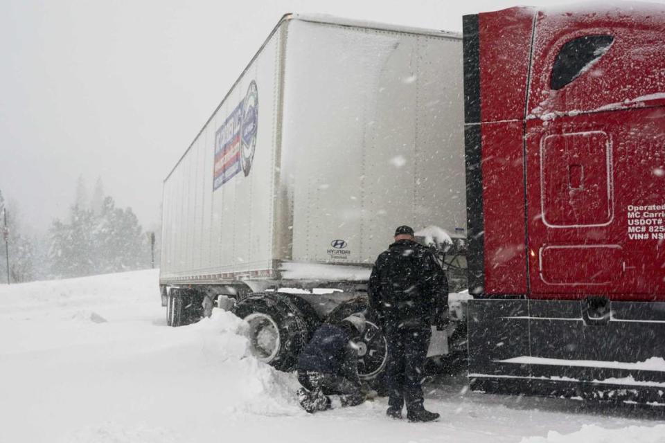
“A mass amount of vehicles” were abandoned Friday night over Donner Summit as emergency personnel ferried motorists to safer locations amid whiteout conditions. “It took several hours for emergency personnel and tow trucks to reach motorists,” the CHP’s Truckee office said in a series of social media posts. “There is no estimated time of reopening the freeway, so we suggest you stay home. Stay warm and don’t put yourself and your family in a dangerous situation.”
Kyle Frankland, a veteran snow plow driver, said several parts of his rig broke as he cleared wet snow underneath piles of powder.
“I’ve been in Truckee 44 years. This is a pretty good storm,” Frankland said. “It’s not record-breaking by any means, but it’s a good storm.”
Officials weren’t sure when the road would be safe to open.
Caltrans outpost affected by storm
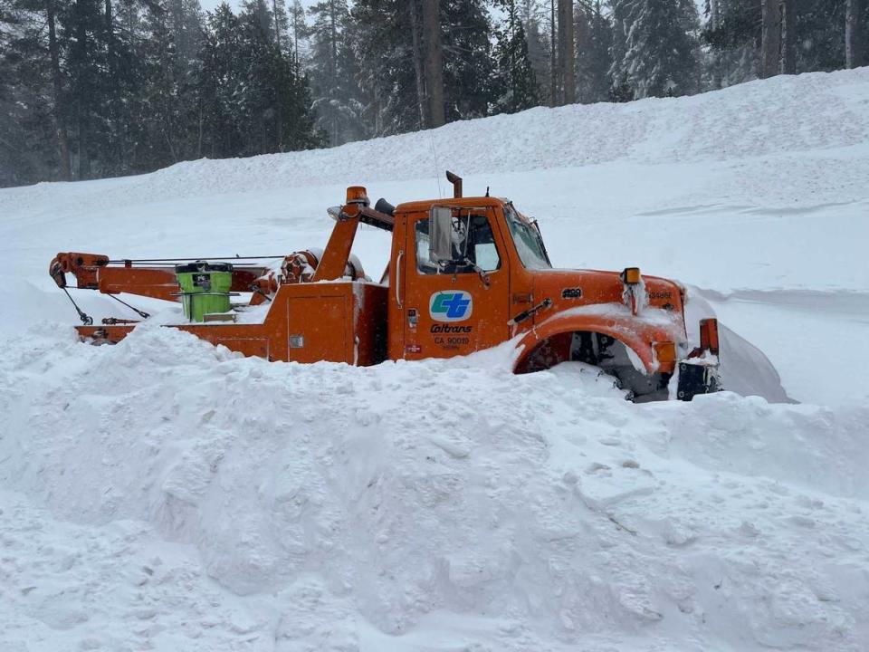
The storm’s severe winds also knocked out power at Caltrans’ fortified nerve center just west of Donner Pass.
“Power is out at our Kingvale office. Not only are the cameras affected so are the message boards,” Caltrans District 3 said in a social media post. “At this point, we are only allowing first responders and Caltrans employees on I-80. No essential big rigs, no ski resort employees. All others will be on a case-by-case basis.”
The Kingvale Maintenance Station, the crown jewel of Caltrans’ roughly 350 maintenance stations since the 1960s, can accommodate and feed as many as 160 workers. It’s also home to a massive repair station, a communications center and “Snowfighter University,” the highway department’s elite training program where Caltrans workers can learn the latest in snow-clearing techniques.
Other Sierra roadways, Caltrans said, weren’t in much better shape, and officials cautioned tractor-trailer drivers and others to avoid using smaller highways to bypass the closures.
Highway 50 traffic had been problematic Saturday and Sunday mornings with a brief closure that reopened the roadway just before 9 a.m. Sunday following about 3 feet of “snow sluff” landing on the westbound side of the roadway, according to the Tahoe Daily Tribune.
The area at Echo Summit “has steep rocks and sheds snow naturally,” the newspaper said. Caltrans officials said snow sluff was a common occurrence that happens outside the avalanche zone.
“Traffic is moving (slowly) in both directions,” Caltrans District 3 officials said in a social media post. “Chain controls remain in place.”
Highway 20 was closed to eastbound traffic in Nevada City while Highway 49 was shut down between Downieville and Highway 89 in Sattley. Highway 89 was closed between Emerald Bay and Bliss State Park and, late in the day, Highway 267 was closed south of Truckee to Highway 28 in Kings Beach.
Travel was treacherous east of the Sierra, where Caltrans also cited “multiple spin-outs and collisions” and “whiteout conditions,” as it closed 90 miles of Highway 395 from near Bishop in the Owens Valley to Bridgeport, north of Mono Lake.
Yosemite National Park closed Friday and officials said it would remain closed through at least noon Sunday.
Significant snow totals continue
Remarkable snow totals continued to pile up, especially along the I-80 corridor, according to the National Weather Service.
Caltrans officials at Yuba Pass had measured 72 inches of snow around 8 a.m. Sunday, the weather service said. That was double what was recorded Saturday morning.
Other impressive totals as reported to the weather service Sunday:
▪ UC Berkeley’s Sierra Snow Lab — which sits just off Donner Pass Road — had recorded another 23.8 inches after receiving 39.8 inches by Saturday morning: “This takes us to over five feet for this storm so far,” they said of the storm’s totals with reached 63.6 inches.
▪ The weather service said “Soda Springs Caltrans measured 76 inches of snowfall over the last 72 hours. 34 inches measured in last 24 hours.”
▪ Sugar Bowl had measured 87 inches of snowfall at the summit level since the storm arrived. Officials said that “35 inches were measured in last 24 hours at summit level. 63 inches measured at base level over last 72 hours, with 23 inches measured in last 24 hours.”
▪ “Sierra at Tahoe Ski Resort measured 61 inches of snowfall at the summit over the last 72 hours. 26 inches measured at summit in last 24 hours. 50.5 inches measured at base level over last 72 hours. 20 inches measured at base level in the last 24 hours,” the weather service said.
▪ Other remarkable daily (and overall) totals: Kirkwood had 21 inches of new snow (48 inches overall); Bear Valley resort received 30 inches (57 inches total); Soda Springs had 40 inches over a day (84 inches).
National Weather Service meteorologist William Churchill said snow totals by late Sunday would range from 5 to 12 feet, with the highest accumulations at elevations above 5,000 feet. Lower elevations were expected to be inundated with heavy rain, he said.
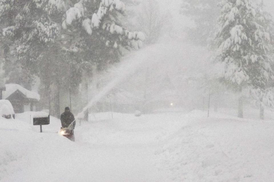
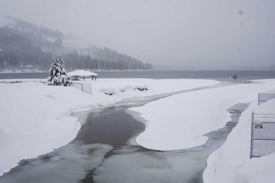
“It’s certainly just about as bad as it gets in terms of the snow totals and the winds,” Churchill said. “It doesn’t get much worse than that.”
Avalanche danger was “high to extreme” in backcountry areas through Sunday evening throughout the central Sierra and greater Lake Tahoe area, the weather service said.
The blizzard warning was extended to 4 a.m. Monday for areas above 6,500 feet and a winter storm warning was put into effect for elevations above 3,000 feet through 4 a.m. Wednesday.
Down in the Sacramento Valley, rain was expected to return briefly Sunday afternoon, according to forecasts.
While meteorologists said the storm would exit by Sunday evening, another storm was already expected to rake across Northern California as early as Monday. Temperatures in the capital region were expected to remain in the low to mid-60s during the day and as low as 40 degrees on the Valley floor through Monday morning.
“A stretch of quieter and more seasonable weather is then expected late week into next weekend,” the weather service said.
Power outages across Sierra counties
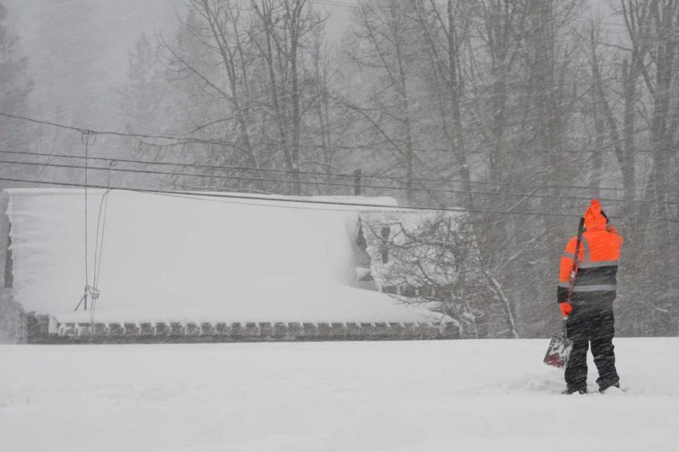
The storm, as expected, caused significant power outages in the Sierra, which continued Sunday.
According to data collected by the Governor’s Office of Emergency Services, nearly 15,000 customers living in the High Sierra counties — Alpine, Amador, Calaveras, El Dorado, Mariposa, Mono, Nevada, Placer, Plumas, Sierra and Tuolumne — were without power as of 11 a.m. Sunday.
“For those of you who have ever shoveled snow, you know that snow is heavy,” said PG&E meteorologist Scott Strenfel. “The weight of the snow is basically weighing down trees in proximity to our lines, also weighing down the assets and causing some of those assets to fail or trees to fall into our lines.”
“It’s also providing challenges just accessing some of these areas because we’re expecting feet on feet on feet of snow and just accessing some of these areas, especially in some of the high winds that we’re seeing too is going to be a challenge,” he said.
Strenfel said the challenges wouldn’t end after the snow stops falling: “We have what’s called unloading and, basically, the snow is going to melt and then it’s gonna fall off trees that can impact our lines again. So we’re looking at continued weather risk.”
Tahoe City and the surrounding area of homes and cabins had nearly 5,000 customers without power Sunday. Other areas like Portola in Plumas County (1,552 homes and businesses) and areas around Tahoma (1,293) were among the largest swaths without electricity.
According to the data, here’s how many customers were off the grid in PG&E and Liberty Utilities territories around 11 a.m. Sunday:
Amador: 29 customers
Calaveras: 251 customers
El Dorado: 2,504 customers
Mariposa: 259 customers
Mono: 198 customers
Nevada: 1,090 customers
Placer: 7,283 customers
Plumas: 2,238 customers
Sierra: 423 customers
Tuolumne: 629 customers
“We are aware of widespread outages,” Liberty Utilities officials said Saturday morning in a social media post. “Crews continue to work around the clock to restore power. Due to poor road conditions, remote access challenges, heavy snow, falling trees, and/or the nature of repairs required, there may be a delay to getting power restored.”
Ski resorts delayed or closed
The blizzard didn’t let up on the constellation of snow resorts across the Sierra, but Sunday proved to be better.
Several ski resorts were forced to temporarily close Saturday after a perfect storm of bad conditions — heavy snow, gusty winds, tough ice on chairlifts, road closures and power outages, to name a few.
On Sunday, some were planning to reopen but the conditions remained challenging.
“We gave it our best shot, but after a monumental effort by our team we’ve made the difficult decision to remain closed for today, March 3rd,” Palisades Tahoe officials said in a social media update. “All lifts have been removed from today’s operating schedule at both Palisades and Alpine.”
Many spots, according to OnTheSnow.com, reported receiving 15 to 42 inches of fresh snow over the 24 hours ending Sunday morning.
“There are a lot of steps that go into reopening,” Palisades officials said in an overnight post. “Especially when we are starting from scratch. Only after Ski Patrol performs snow safety work can we complete grooming tasks, start spinning chairlifts (which have their own daily checklist), and continue dig-out work.”
For its twin resorts, the issue wasn’t just the snow it was the wind.
According to reports, winds topped 190 mph at Palisades Tahoe just after 10 p.m. Friday night while neighboring Alpine Meadows recorded a gust of 184 mph. Both gusts were recorded just above 8,600 feet.
“Though our snowplots were scoured by wind, we estimate we’ve already received up to 5 feet of snow on the upper mountain, and we could see another 2-3 feet by Monday,” Palisades said. “It should be less windy (Sunday), which we are hoping will help us get chairlifts open. Poor visibility has been a scourge these past few days.”
After delays opening its lifts for several hours on Saturday, Heavenly and Northstar had some runs open amid new snow accumulations. On Sunday, operations remained limited in most places.
Also open Sunday: Kirkwood and Sugar Bowl. Among those closed: Boreal, Sierra-at-Tahoe, Tahoe Donner.
Palisades officials had hoped to have some lifts and runs operating by noon, but that plan was scrapped by 10:30 a.m. — officials said they were in no rush to hit the slopes, especially if conditions weren’t the safest.
“We know this is a ton of fresh snow and we are stoked to ski it, too. Remember, we will be open through at least Memorial Day. That’s three months to keep skiing and riding, so you have plenty of time to get out on the hill.”
They echoed the view of local residents, forecasters and emergency personnel: “This storm is NOT over yet.”
The Associated Press contributed to this story.
