
Arctic air ushers in low-elevation snow risk to B.C.
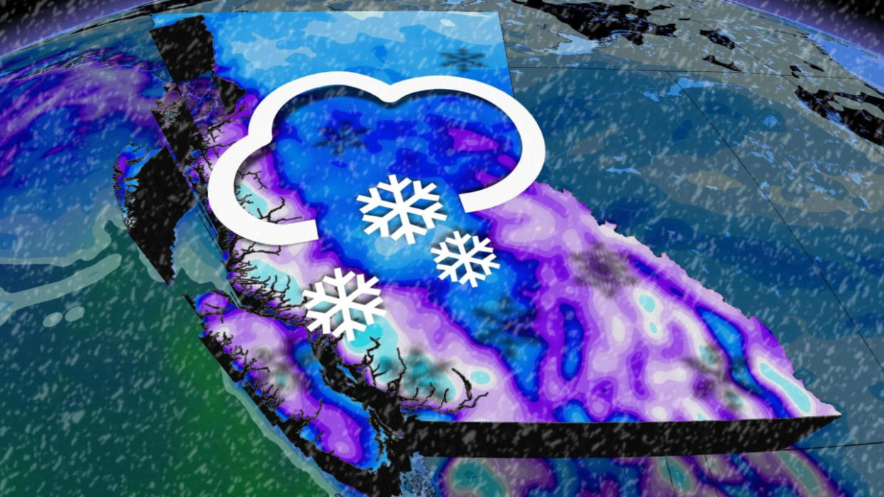
A pattern change taking hold in the skies over the West Coast could make conditions favourable for low-elevation snow this week as cold air filters toward the coast.
While this pattern could bring much-needed snow to higher elevations and ski resorts across British Columbia, we’re watching the potential for accumulating snow across parts of the Lower Mainland and interior Vancouver Island by Tuesday.

DON’T MISS: Earth just experienced its hottest 12 months in recorded history
Monday:
Monday will feel like a fresh January day across the region after the rain we saw over the weekend. Scattered wet snow showers are likely throughout the Fraser Valley and portions of inland Vancouver Island.
A band of wet snow could also interrupt areas from the Malahat to Victoria Monday evening, however the exact placement is variable. Drivers are urged to take caution for changeable weather conditions in that area.

Tuesday:
Things could get a bit more interesting across the Lower Mainland by Tuesday.
Cold air draining out of the Interior will arrive at the same time as a disturbance moves into the region from the Gulf of Alaska. The combination of moisture and cold air will allow wet snow to develop above 200 m across much of Vancouver Island and the Lower Mainland.
MUST SEE: What is a sluff? These common slides spell danger in the mountains
Heavy snow will be likely along the Malahat and Sea-to-Sky Highway heading into Tuesday evening, with travel troubles expected to spill into Wednesday, as well.
Snowfall totals are still highly uncertain, depending on the front's timing. If the system slows down, between 5-10 cm is possible across the Lower Mainland, with higher totals expected further inland.

Based on current model guidance, wet snow would most likely begin late Tuesday and peak through the evening and overnight hours.
Wednesday:
The period of snow will be extremely short-lived, as a warm and rainy pattern takes hold by early Wednesday.
Heavy rain will persist throughout the day, washing away snow accumulations at the surface with the soggy set-up. Between 30-50 mm is expected, with upwards of 75 mm of rain impacting some of the hardest hit areas.

Be sure to check back for the latest weather updates across B.C.

