
What a dry winter in the Rockies could mean for the spring
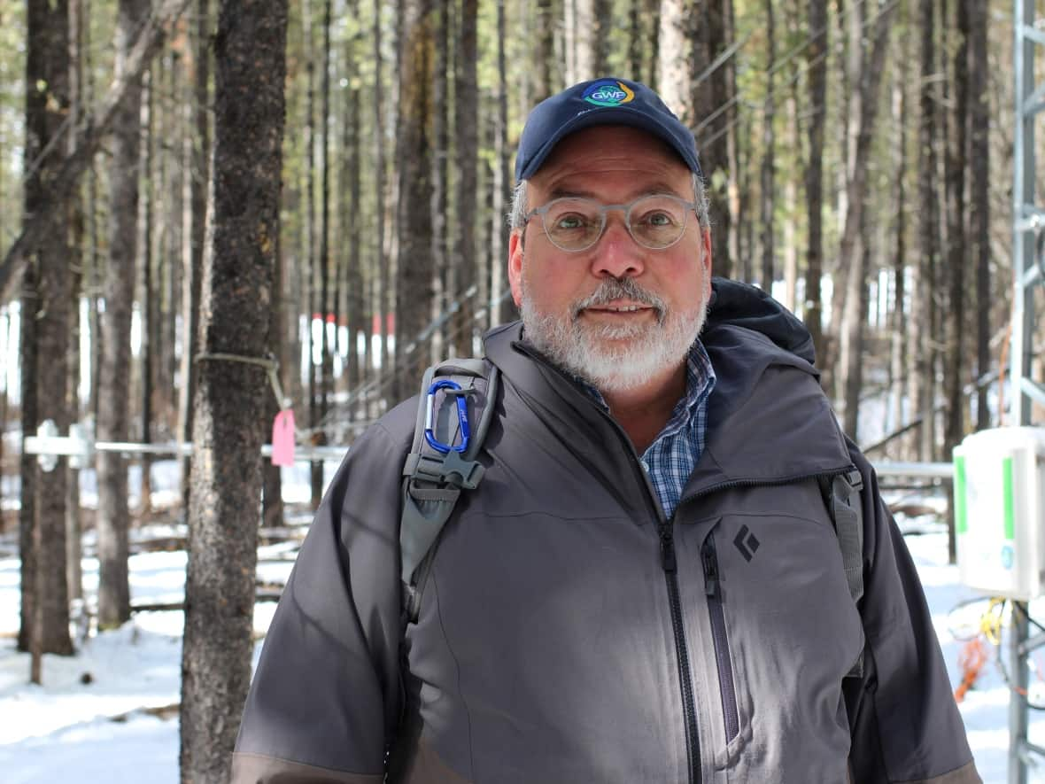
Snow-wise, it hasn't been a great year in the Rocky Mountains, says Canmore-based water expert John Pomeroy.
"[The snowpack] is in the lowest quarter to lowest 10 per cent of all years measured over the last half century in the Kananaskis-Banff region," said Pomeroy, who is Canada Research Chair in Water Resources and Climate Change at the University of Saskatchewan.
"It's definitely a low snow year."
Provincial river forecasters have noticed similar results. Snow surveys done in late March demonstrated mountain snow conditions "much below average" in the upper portion of the Bow River basin, said river forecaster Colleen Walford.
That news does come with a caveat: Walford noted there has since been several snowfall events in the areas her team monitors, and at mid-April, there is still time in the season for more precipitation to fall.
"We've got a little bit of time left to recover, but if we take the situation as it stands, we're forecasting March to September flow volumes below normal for the rivers flowing out of the Bow River basin," said Walford, who works for Alberta Environment.
Lower-than-normal river flows can mean a lack of water supply for cities and for farmers who rely on snowmelt for irrigation.
Low river levels are also trouble for fish, said Pomeroy, as they generally mean higher water temperatures.
"That's deadly for trout," said Pomeroy.
Forest fire risk also tends to be higher in years with low mountain snowpack and early snowmelt, Pomeroy said.
He pointed to the Fort McMurray wildfire in 2016, which happened during a year of low winter snowpack, early snowmelt and a smattering of 30-degree days in late April and early May.
"That's the ingredient for a massive fire," he said.
As Walford pointed out, a wet spring still has the potential to turn things around. A flood isn't even out of the question if there's heavy rain in the spring, especially if it falls on top of a late-lingering snowpack.
"I think we'll have to watch and see," he said.
Part of an overall trend
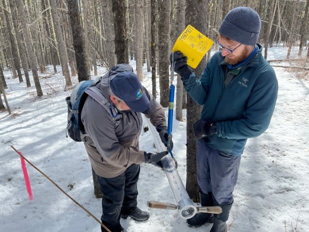
This year's below-normal snowpack is part of a broader trend, said Pomeroy, who spoke to CBC News during a snow survey trip to Marmot Creek in the Kananaskis Valley.
While higher elevation snowpacks haven't yet shown much of an ongoing change, at lower elevations in Kananaskis, snowpacks are now about half of what they would have been in the 1960s and 1970s, Pomeroy said.
Winter temperatures in the area are also rising at a faster rate than the global average, he said.
"That's something we have to deal with, that climate change is here right now and it's already influencing the water resources of this region."

