
The East Coast Is Rapidly Sinking Year by Year. Every Inch Is an Alarm, Scientists Say.
New data shows that some parts of the East Coast is sinking at a rate of over 5 millimeters per year.
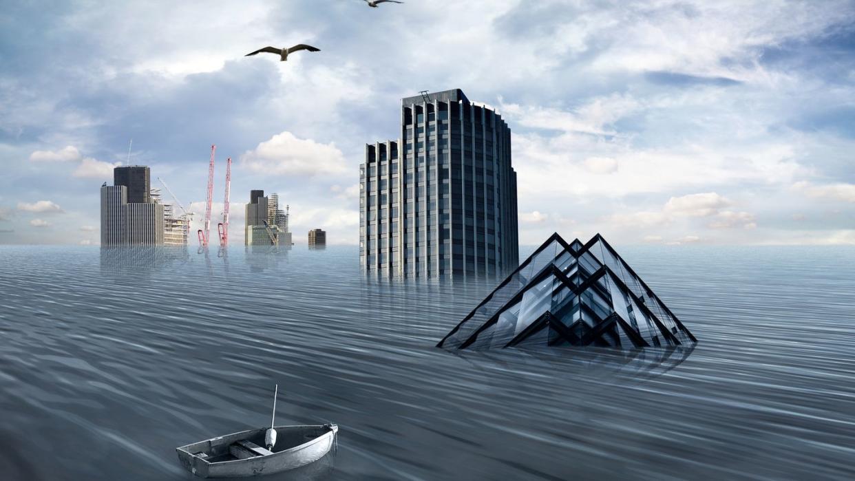
Highly populated areas full of critical infrastructure pose the most risk for sinking land.
Coupled with global sea-level rise, scientists claim that the problems require a proactive approach.
The entire East Coast of the United States is sinking. And highly populated areas are dipping at an increased rate—as much as 5 millimeters (.2 inches) per year. That’s enough subsidence (the scientific word for sinking land) to put the coast on high alert. Or at least it certainly should be, according to a new study from Virginia Tech University and the U.S. Geological Survey (USGS).
The study, published in the Proceedings of the National Academies of Sciences, was performed by a joint team from Virginia Tech and the U.S. Geological Survey that studied space-based radar satellite data to construct a digital terrain map showing the sinking landscapes. The team claims to have created one of the world’s first high-resolution depiction of land subsidence, showing that large areas of the East Coast are sinking at least 2 mm per year—and more than 1,4000 square miles are sinking more than 5 mm per year.
“Continuous unmitigated subsidence on the U.S. East Coast should cause concern,” Leonard Ohenhen, lead author and Virginia Tech graduate student, said in a statement. “This is particularly in areas with a high population and property density and a historical complacency toward infrastructure maintenance.”
Think New York City, and more specifically the areas near both LaGuardia and JFK airports. Subsidence rates are higher in more populated areas, which are sinking at least 2 mm (.08 inches) per year. “Here, the problem is not just that the land is sinking,” Ohenhen said. “The problem is that the hotspots of sinking land intersect directly with population and infrastructure hubs.”
Critical infrastructure in cities like New York, for example—including the two major airports and its runways, railway systems, and vast areas containing building foundations and pipelines—are sinking faster compared to nearby relatively stable ground, increasing risks. “The effects of these right now and into the future are potential damage to infrastructure and increased flood risks,” Ohenehn said.
And the problem isn’t just in New York. The study points to Baltimore and Norfolk as additional hotspots for rapid sinking, stating that more than 50 percent of infrastructure in major cities like these are exposed to high subsidence rates. Even the non-hotspots can sink up to 2 mm per year.
“This information is needed,” Patrick Barnard, study co-author and research geologist with the USGS, said in a statement. “No one else is providing it.”
When you combine the sinking with a global rate of sea level rise that comes in at more than 4 mm (.16 inches) per year, things start to look even more dire. “We measured subsidence rates of 2 mm per year affecting more than 2 million people and 800,000 properties on the East Coast,” Manoochehr Shirzaei, professor in Virginia Tech’s Earth Observation and Innovation Lab, said in a statement. “Through this study, we highlight that sinking of the land is not an intangible threat.”
You Might Also Like

