
'Here we are again': Flood warning returns for Klondike River, evacuation underway
A tactical evacuation is underway once again in the Rock Creek area near Dawson City, Yukon, as the Klondike River continues to run dangerously high.
Officials have issued another flood warning for the area, a little more than a week after an earlier warning was downgraded to a flood watch.
A tactical evacuation means that residents are advised to leave the area, but are not under an evacuation order.
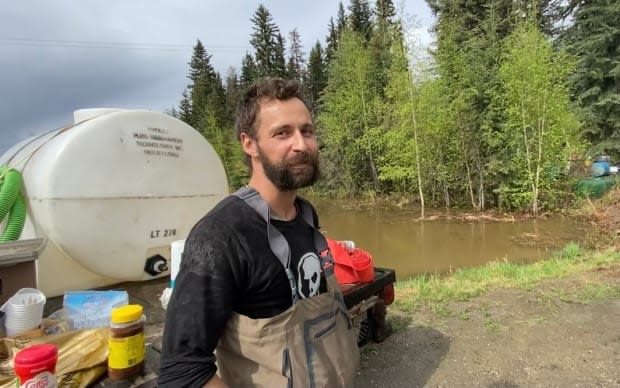
"Here we are again," said Jake John Armstrong, who was busy on Wednesday putting sandbags around his property in the Dredge Pond subdivision.
"Lots of friends helping out, and the community really comes together in times like these."
Emergency officials say melting snow combined with some heavy rain in recent days has caused the river to rise again. Flooding earlier this month was caused primarily by ice jams on the Klondike.
"The cause is different," said Julia Duchesne with Yukon Protective Services on Wednesday.
"Now what we're seeing is just high water levels on the Klondike due to all of the snow melt that's coming off of the surrounding mountains, and that's swelling the river."
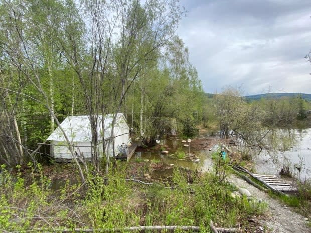
Duchesne said heavy rain in recent days is also a factor. The water level at some properties in the Rock Creek area on Wednesday was comparable to what it was earlier this month.
Deanna Ford, who's from B.C. and spends her summers in the Dawson City area, was staying at the campground near Rock Creek when she woke Wednesday morning to find the water rising all around her.
"This is not how I expected my day to pan out," she said.
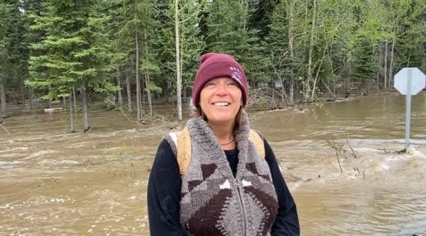
"Truthfully, it's a little bit humbling. We've just walked away from everything that we owned and now we're just in the hands of kind people who are helping us out."
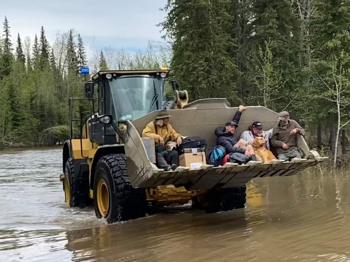
Several people managed to get out of the campground by riding in loader bucket, including Kevin Waters.
"What a great service," he said.
Officials said the river level could peak on Wednesday, but flooding may continue with more rain expected over the coming days.
People who have had to leave their home because of flooding can access support and accommodations by calling 867-332-4597.
Highways closed
The high water has also closed some highways in the region. As of Wednesday afternoon, the North Klondike Highway between Stewart Crossing and the Dempster Highway cut-off was closed. Officials said high water at the Clear Creek bridge (km 594) had made the highway unsafe and was threatening the bridge.
There was no word on when the highway might reopen.
The Dempster Highway has also been closed because of several washouts in recent days. Highways officials said Wednesday afternoon that they were aiming to open the highway to single-lane traffic by Thursday.
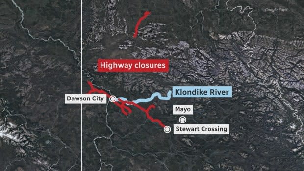
And parts of the Silver Trail — the only road into the community of Mayo — are also covered in water because of overflowing ditches, though the road remains open. Duchesne said crews have been pumping water off the road. Officials are asking motorists to travel with caution.
"The creeks and rivers in the Mayo area got some intense downpours over the weekend. They were very localized, but the creeks and rivers in that area were already high due to this quick spring snow melt that we've been getting," Duchesne said.
"So just that bit of precipitation pushed it over the edge."

